 Poland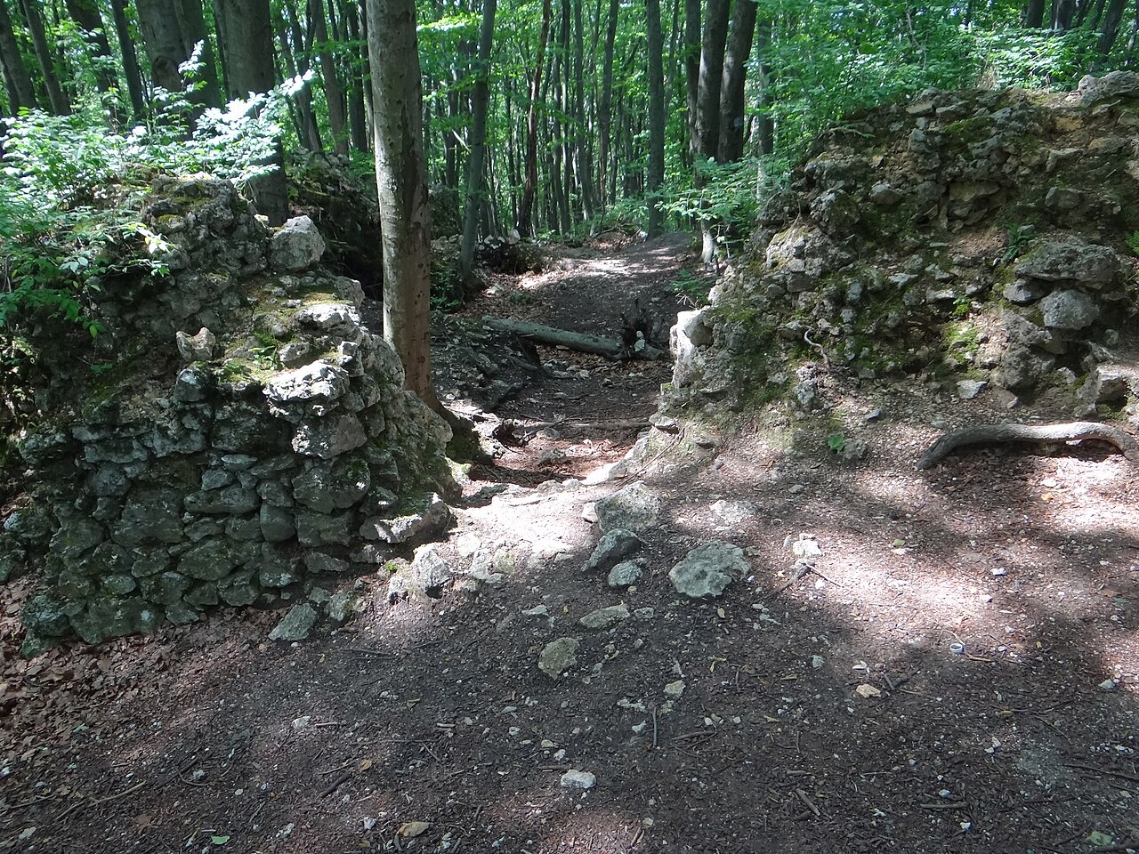
Ostrężnik Castle – a former castle, now in ruin, located near the small settlement of Ostrężnik, south of voivodeship road no. 793 linking Janów and Żarki, some 6 km from Janów. The ruins stand on the top of the Ostrężnik rock in a forest on a hill (380 m above sea level). Administratively it belongs to the village of Siedlec.
Machine-translated from “Zamek Ostrężnik” on the Polish Wikipedia, CC BY-SA 4.0.
Ostrężnik Castle ranks #7,065 of 9,079 worldwide in the atlas's castle fame ranking, and #279 of the 398 mapped in Poland. 5 more atlas landmarks stand within 25 km. The nearest day-trip guide is Częstochowa, 25 km away. See how Poland compares in the castle statistics.
View on the interactive castle map →