 Poland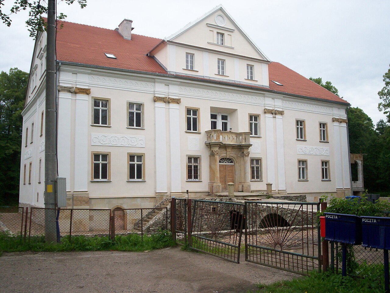
The Palace in Ciechanowice is a historic 17th-century palace in Ciechanowice, in Kamienna Góra County, in the Lower Silesian Voivodeship, in the Marciszów commune, entered in the register of immovable historic monuments of the Lower Silesian Voivodeship.
The building is located in the gorge of the Bóbr river, on the border of the Kaczawskie Mountains and the Rudawy Janowickie in the Western Sudetes.
Machine-translated from “Pałac w Ciechanowicach” on the Polish Wikipedia, CC BY-SA 4.0.
Palace in Ciechanowice ranks #6,818 of 9,079 worldwide in the atlas's castle fame ranking, and #260 of the 398 mapped in Poland. 19 more atlas landmarks stand within 25 km. The nearest day-trip guide is Jelenia Góra, 18 km away. It is one of the 80 landmarks on the atlas's regional map of Lower Silesia. See how Poland compares in the castle statistics.
View on the interactive castle map →