Ruin
Papowo Biskupie Castle
 Poland · 13th century
- Founded
- 1287
- Heritage status
- immovable monument in Poland
- Location
- Papowo Biskupie
- Coordinates
- 53.25188°, 18.56439°
- Open data
- Wikidata Q14906500
- Links
- Wikimedia Commons
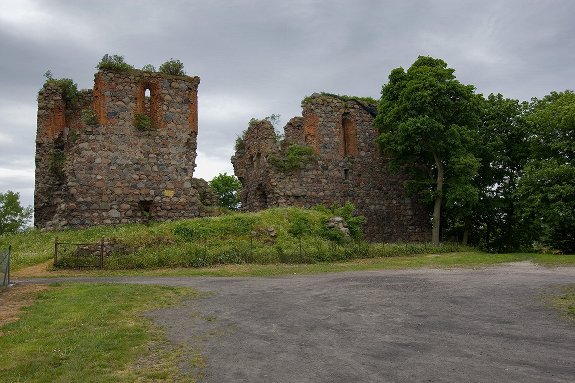
Description
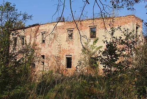
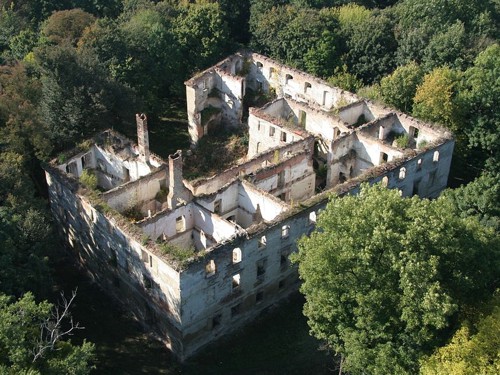
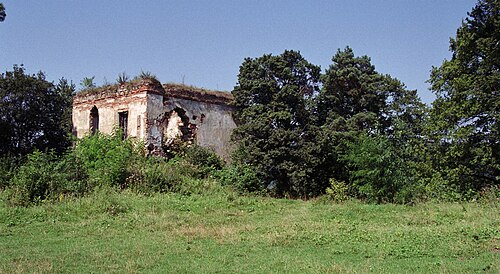
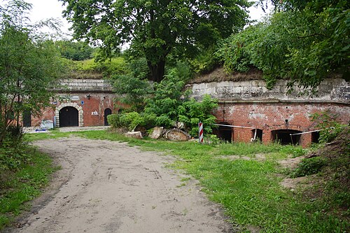
Papowo Biskupie Castle is the ruins of a Teutonic castle of the 2nd half of the 13th century in Papowo Biskupie, in Chełmno County, in Kuyavian-Pomeranian Voivodeship.
Machine-translated from “Zamek w Papowie Biskupim” on the Polish Wikipedia, CC BY-SA 4.0.
In the rankings
Papowo Biskupie Castle ranks #8,914 of 9,902 worldwide in the atlas's castle fame ranking, and #373 of the 455 mapped in Poland. Founded 1287, it is older than 64% of the atlas's dated landmarks, one of 1134 atlas entries founded in the 13th century. 6 more atlas landmarks stand within 25 km. The nearest day-trip guide is Toruń, 27 km away. See how Poland compares in the castle statistics.
Castles nearby
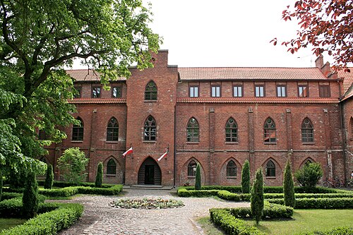
- Castle in Zamek Bierzgłowski18 km · Poland
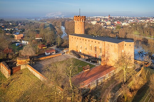
- Świecie Castle (Kuyavia)18 km · Poland
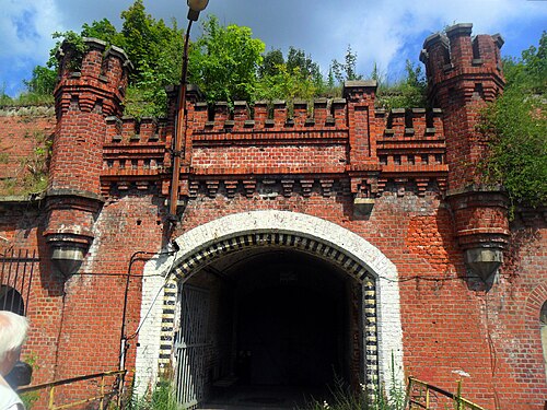
- Fort V23 km · Poland
- Fort VI24 km · Poland
More castles in Poland
- Janowiec Castle (Lubusz)Poland · 15th century
- Chrzelice CastlePoland · 14th century
- Castle in Dąbrówka StarzeńskaPoland · 17th century
- Castle in LubawaPoland · 14th century