Fortress
Ponts Couverts, Strasbourg
 France · 13th century
- Founded
- 1250
- Heritage status
- classified historical monument
- Location
- Strasbourg
- Coordinates
- 48.5799°, 7.73953°
- Open data
- Wikidata Q3397780
Description
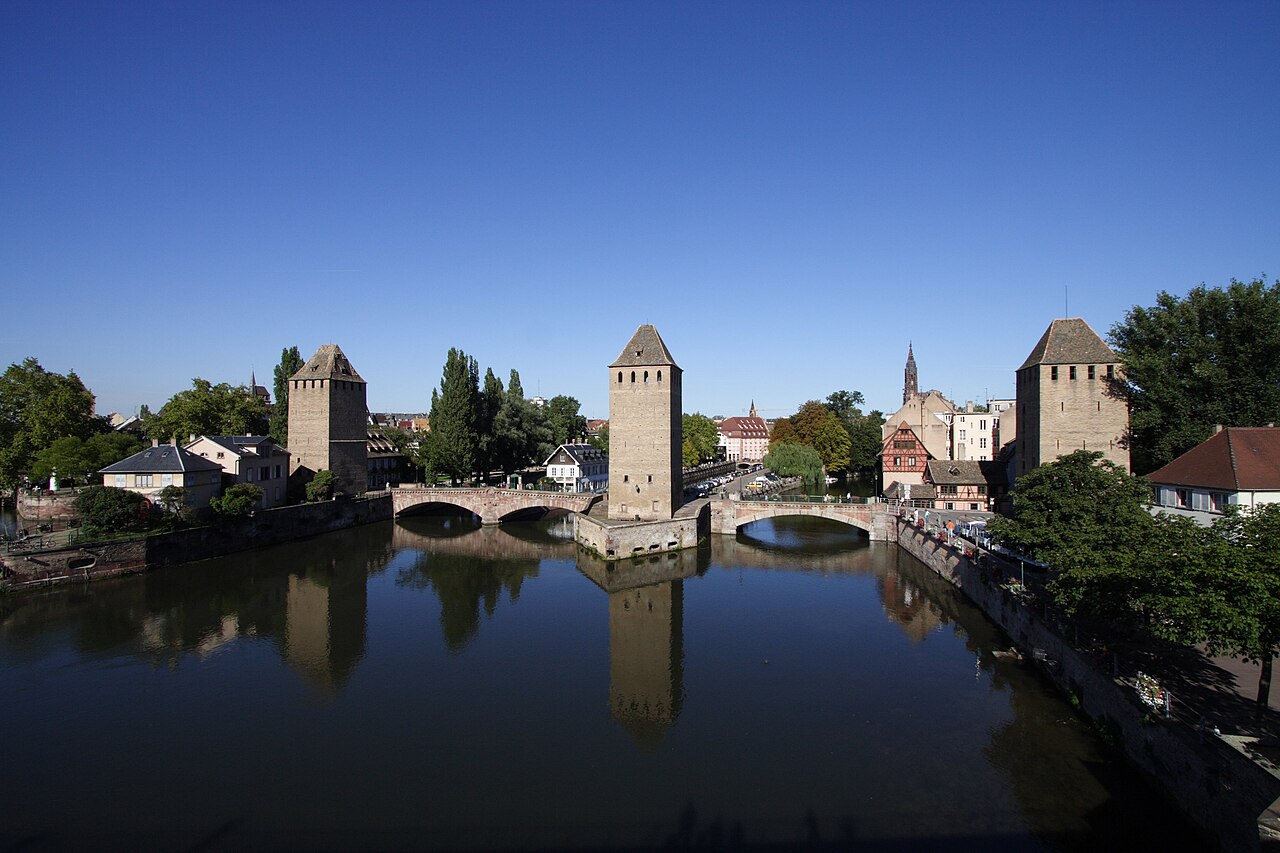
The Ponts Couverts (French pronunciation: [pɔ̃ kuvɛʁ]; German: Gedeckte Brücken) are a set of three bridges and four towers that make up a defensive work erected in the 13th century on the River Ill in Strasbourg, France. The three bridges cross the four river channels of the Ill that flow through Strasbourg's historic Petite France quarter. The Ponts Couverts have been classified as a Monument historique since 1928.
Construction of the Ponts Couverts commenced in 1230, and they were opened in 1250. As a defensive mechanism, they were superseded by the Barrage Vauban, just upstream, in 1690, but remained in use as bridges. As built, each of the bridges was covered by a wooden roof that served to protect the defenders who would have been stationed on them in time of war. These roofs were removed in 1784, but the name Ponts Couverts (covered bridges) has remained in common use ever since.
Text adapted from “Ponts Couverts, Strasbourg” on Wikipedia, CC BY-SA 4.0.
In the rankings
Ponts Couverts, Strasbourg ranks #4,486 of 9,040 worldwide in the atlas's castle fame ranking, and #373 of the 787 mapped in France. Founded 1250, it is older than 67% of the atlas's dated landmarks, one of 1091 atlas entries founded in the 13th century. Its Wikipedia articles were opened 2,243 times in the last 60 days, more than 72% of the atlas. 8 more atlas landmarks stand within 25 km. The nearest day-trip guide is Strasbourg, 1 km away. It is one of the 63 landmarks on the atlas's regional map of Alsace. See how France compares in the castle statistics.
Castles nearby
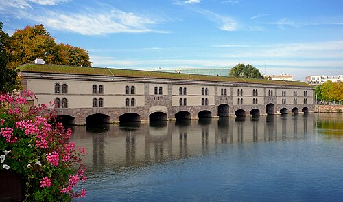
- Barrage Vauban1 km · France
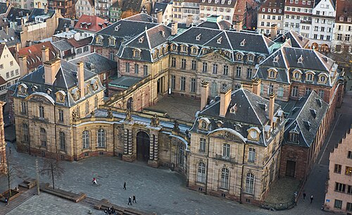
- Palais Rohan, Strasbourg1 km · France
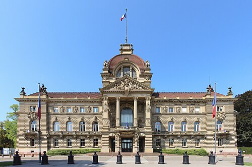
- Palais du Rhin1 km · France
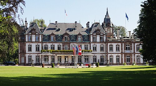
- Château de Pourtalès5 km · France
More castles in France
- The fortified castle of GuiseFrance · 10th century
- Tour RoyaleFrance · 16th century
- Tower of Philip the FairFrance · 13th century
- Vieux Château (Mauléon-Licharre)France · 13th century