Ruin
Qal'at al-Bahrain
 Bahrain · 15th century BC
- Founded
- c. 1450 BC
- Heritage status
- World Heritage Site · Heritage of Portuguese Influence
- Location
- Manama
- Coordinates
- 26.23361°, 50.52056°
- Open data
- Wikidata Q740104
- Links
- UNESCO · OpenStreetMap · Wikimedia Commons
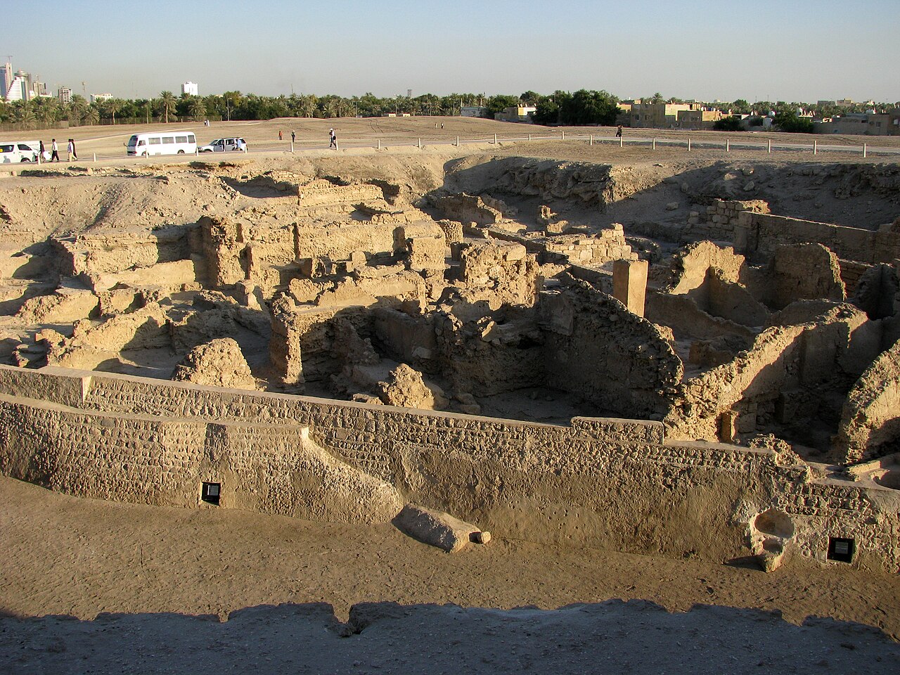
Description
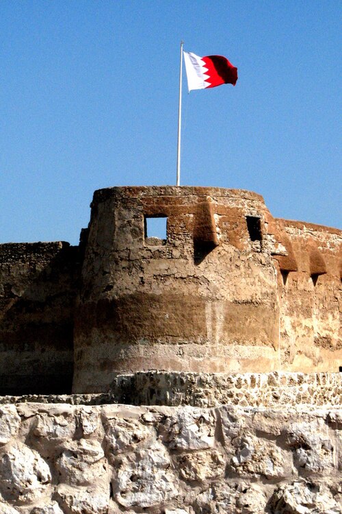
The Qal'at al-Bahrain (also Qala'at al-Bahrain) (Arabic: قلعة البحرين; Portuguese: Forte de Barém), also known as the Bahrain Fort or Portuguese Fort, is an archaeological site located in Bahrain. Archaeological excavations carried out since 1954 have unearthed antiquities from an artificial mound of 12 m (39 ft) height containing seven stratified layers, created by various occupants from 2300 BC up to the 18th century, including Kassites, Greeks, Portuguese and Persians, making it the oldest fortification in the Persian Gulf region. It was once the capital of the Dilmun civilization and was inscribed as a UNESCO World Heritage Site in 2005.
Text adapted from “Qal'at al-Bahrain” on Wikipedia, CC BY-SA 4.0.
In the rankings
Qal'at al-Bahrain ranks #548 of 9,902 worldwide in the atlas's castle fame ranking, and #1 of the 4 mapped in Bahrain. Founded c. 1450 BC, it is older than 99% of the atlas's dated landmarks, one of 3 atlas entries founded in the 15th century BC. Its Wikipedia articles were opened 4,984 times in the last 60 days, more than 88% of the atlas. 3 more atlas landmarks stand within 25 km. The nearest day-trip guide is Manama, 7 km away. See how Bahrain compares in the castle statistics.
Castles nearby
- Arad Fort11 km · Bahrain
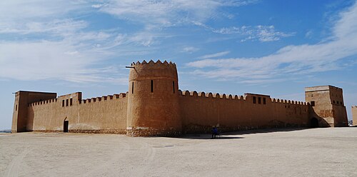
- Riffa Fort14 km · Bahrain
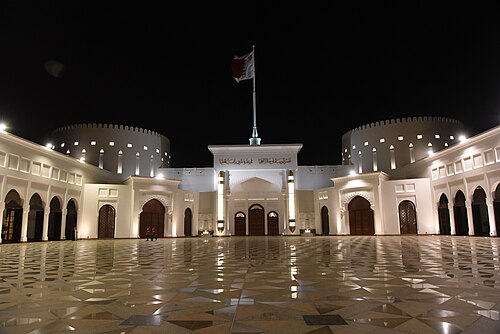
- Al-Sakhir Palace19 km · Bahrain
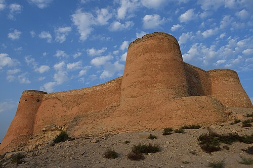
- Tarout Castle
 58 km · Saudi Arabia