 Germany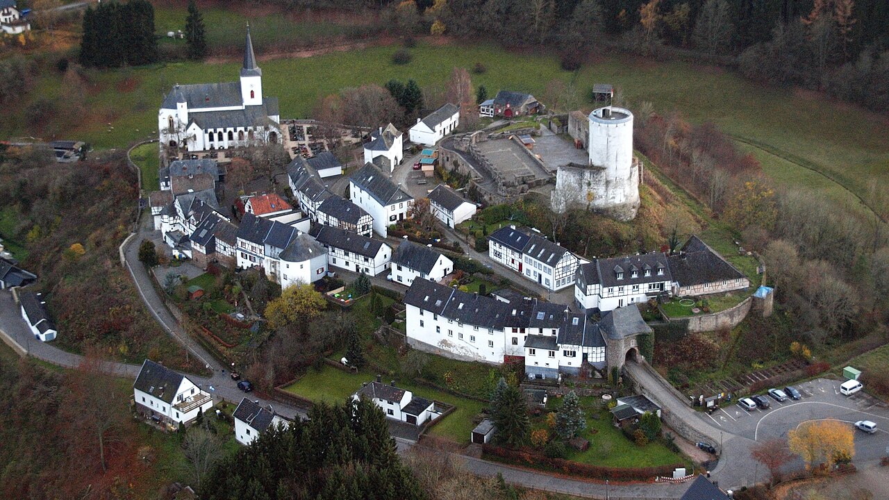
The ruins of Reifferscheid Castle (German: Burg Reifferscheid) stand at a height of 450 metres above sea level (NN) near the German-Belgian border between the mountains of the Eifel and the Ardennes in the municipality of Hellenthal. Its name probably comes from a forest clearing that belonged to a man called Rifhari, the names Rifersceith or Rifheres-sceit mean "woodland strip of Rifhari".
All that has survived of the medieval hill castle are the remains of the curtain walls, a gatehouse with two flanking round towers, a gabled entrance and a round, white-plastered bergfried made of rubble stone.
Text adapted from “Reifferscheid Castle” on Wikipedia, CC BY-SA 4.0.
Reifferscheid Castle ranks #7,586 of 9,079 worldwide in the atlas's castle fame ranking, and #673 of the 711 mapped in Germany. 5 more atlas landmarks stand within 25 km. The nearest day-trip guide is Aachen, 43 km away. See how Germany compares in the castle statistics.
View on the interactive castle map →