Ruin
Ruine Lichtenfels
 Austria · 12th century
- Founded
- 1150
- Heritage status
- Listed objects in Austria
- Location
- Zwettl
- Coordinates
- 48.5904°, 15.3232°
- Open data
- Wikidata Q1012934
- Links
- Wikimedia Commons
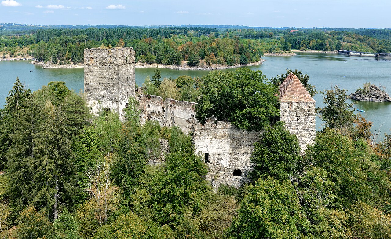
Description
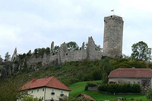
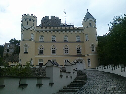
Burg Lichtenfels is the ruin of a hill castle near Peygarten-Ottenstein in the Waldviertel, Lower Austria, belonging to the town of Zwettl-Niederösterreich.
Machine-translated from “Burg Lichtenfels (Ottenstein)” on the German Wikipedia, CC BY-SA 4.0.
In the rankings
Ruine Lichtenfels ranks #8,604 of 9,902 worldwide in the atlas's castle fame ranking, and #298 of the 316 mapped in Austria. Founded 1150, it is older than 80% of the atlas's dated landmarks, one of 810 atlas entries founded in the 12th century. 12 more atlas landmarks stand within 25 km. The nearest day-trip guide is St. Pölten, 49 km away. See how Austria compares in the castle statistics.
Castles nearby
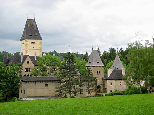
- Burg Ottenstein1 km · Austria
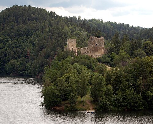
- Burgruine Dobra5 km · Austria
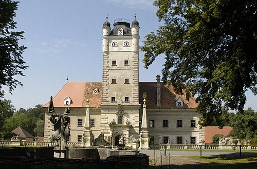
- Schloss Greillenstein16 km · Austria
- Hartenstein Castle17 km · Austria
More castles in Austria
- Schloss SonnbergAustria
- Waxenberg CastleAustria · 13th century
- Schloss DroßAustria
- Schloss DrosendorfAustria