Ruin
Ruins of Loropéni
 Burkina Faso · 14th century
- Fame
- Hidden gem
- Founded
- c. 1400
- Heritage status
- World Heritage Site
- Location
- Loropéni
- Coordinates
- 10.31028°, -3.56306°
- Open data
- Wikidata Q1269931
- Links
- UNESCO · OpenStreetMap · Wikimedia Commons
Description
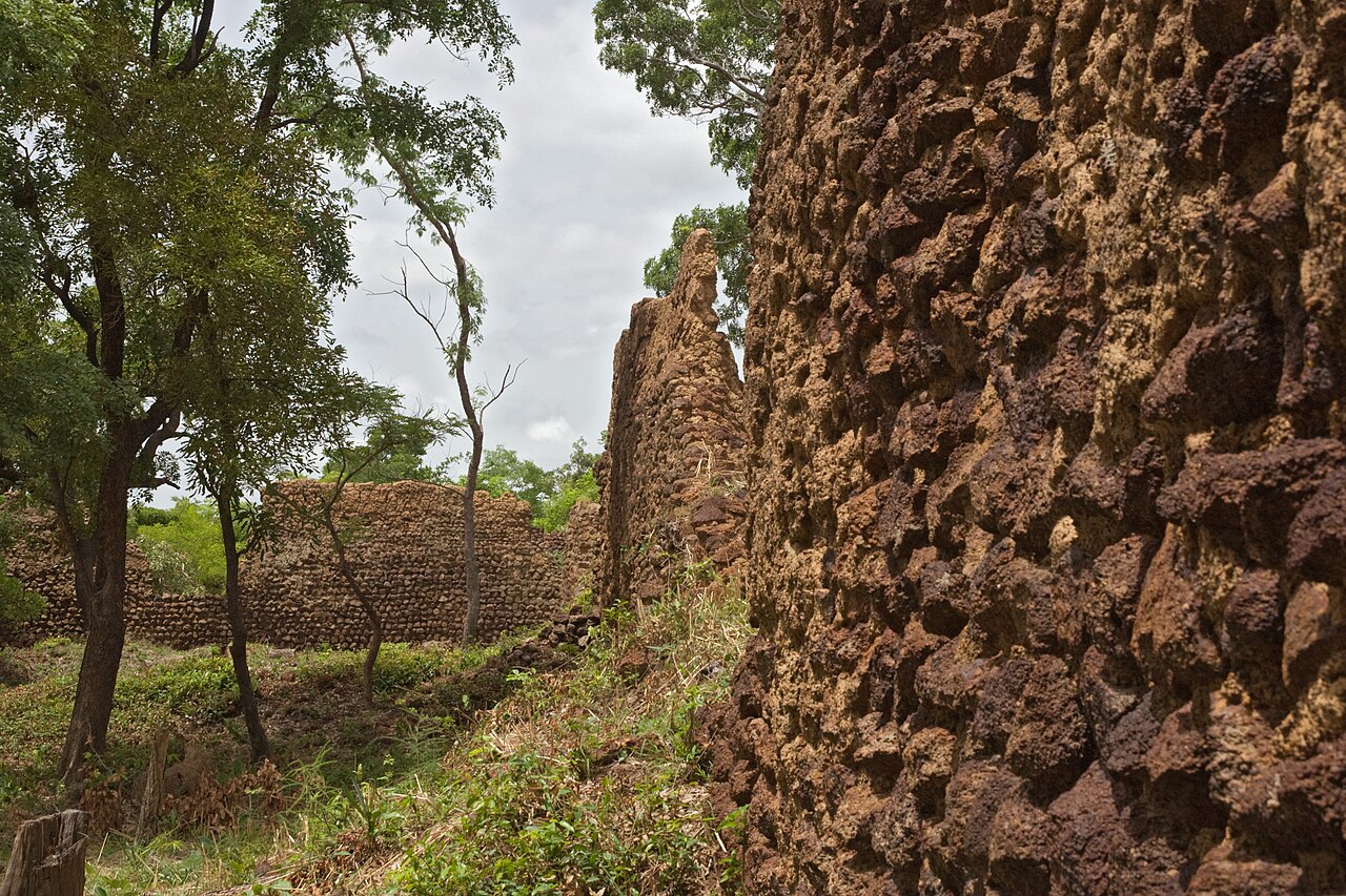
The ruins of Loropéni (French: Ruines de Loropéni) are a medieval heritage site near the town of Loropéni in southern Burkina Faso. They were added to the UNESCO World Heritage List in 2009. These ruins were the country's first World Heritage site. The site, which spans 1.113 hectares (2.75 acres), includes an array of stone walls that comprised a medieval fortress, the best preserved of ten in the area. They date back at least a thousand years. The settlement was occupied by the Lohron or Kulango people and prospered from the trans-Saharan gold trade, reaching its height between the 14th and 17th centuries. It was abandoned in the early 19th century.
Text adapted from “Ruins of Loropéni” on Wikipedia, CC BY-SA 4.0.
In the rankings
Ruins of Loropéni ranks #1,799 of 9,902 worldwide in the atlas's castle fame ranking. Founded c. 1400, it is older than 51% of the atlas's dated landmarks, one of 797 atlas entries founded in the 14th century. Its Wikipedia articles were opened 1,355 times in the last 60 days, more than 64% of the atlas. See how Burkina Faso compares in the castle statistics.
Castles nearby
- Wa Naa's Palace
 119 km · Ghana