Castle
Schloss Lütetsburg
 Germany · 16th century
- Founded
- c. 1557
- Location
- Lütetsburg
- Coordinates
- 53.5997°, 7.26319°
- Open data
- Wikidata Q2242308
- Links
- Wikimedia Commons
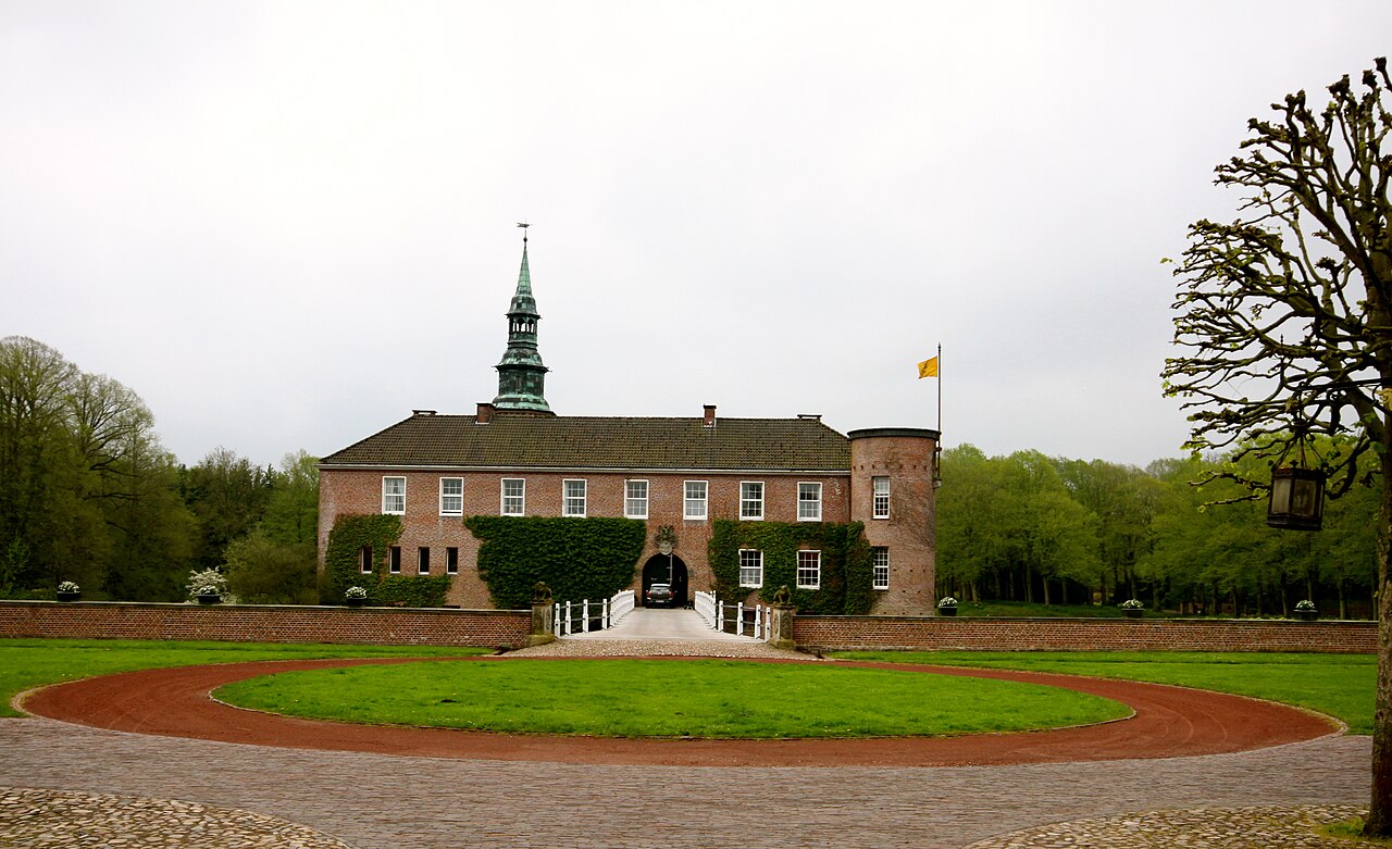
Description
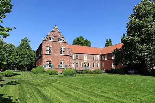
Schloss Lütetsburg is a moated castle in the municipality of Lütetsburg in East Frisia.
The castle complex gives the municipality its name and consists of a residential building, an outer bailey and a park. The castle lies east of the town of Norden and was fundamentally rebuilt several times over the centuries. The three-winged outer bailey belongs to the second complex, built by the chieftain Unico Manninga from 1557 to 1576, its gate tower of 1731 to the third. The castle itself was built in the years 1959 to 1960 on the foundation walls of the burnt-down predecessor building.
Machine-translated from “Schloss Lütetsburg” on the German Wikipedia, CC BY-SA 4.0.
In the rankings
Schloss Lütetsburg ranks #5,375 of 9,902 worldwide in the atlas's castle fame ranking, and #486 of the 927 mapped in Germany. Founded c. 1557, it is older than 37% of the atlas's dated landmarks, one of 933 atlas entries founded in the 16th century. Its Wikipedia articles were opened 1,529 times in the last 60 days, more than 67% of the atlas. 2 more atlas landmarks stand within 25 km. See how Germany compares in the castle statistics.
Castles nearby
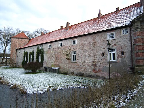
- Berum Castle2 km · Germany
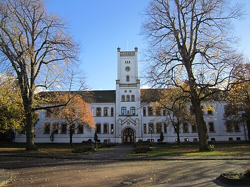
- Schloss Aurich20 km · Germany
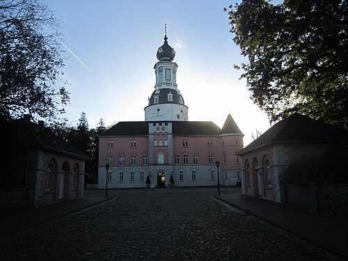
- Schloss Jever42 km · Germany
- Haneburg43 km · Germany
More castles in Germany
- High Castle of FüssenGermany · 13th century
- Zitadelle JülichGermany · 16th century
- Mildenstein CastleGermany · 9th century
- Steinsberg CastleGermany · 12th century