Ruin
Tulum
 Mexico · 13th century
- Founded
- c. 1250
- Location
- Tulum Municipality
- Elevation
- 12 m
- Coordinates
- 20.21472°, -87.42889°
- Open data
- Wikidata Q725883
- Links
- Wikimedia Commons
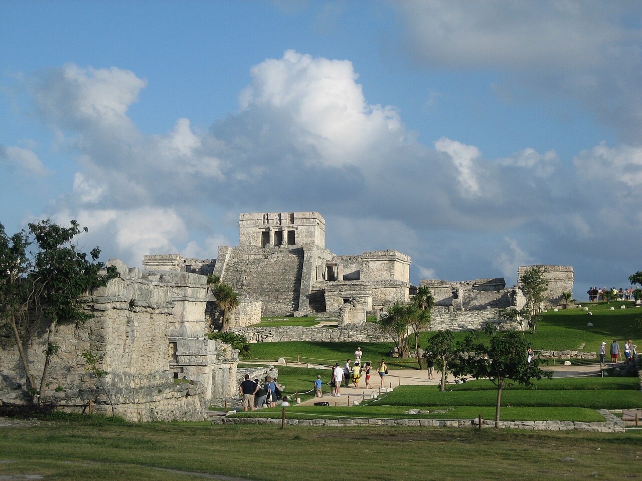
Description
Tulum (Spanish pronunciation: [tuˈlun]; Yucatec Maya: Tulu'um) is the site of a pre-Columbian Mayan walled city which served as a major port for Coba, in the Mexican state of Quintana Roo. The ruins are situated on 12-meter-tall (39 ft) cliffs along the east coast of the Yucatán Peninsula on the Caribbean Sea. Tulum was one of the last cities built and inhabited by the Maya and achieved its greatest prominence between the 13th and 15th centuries. Maya continued to occupy Tulum for about 70 years after the Spanish began exploring Mexico, but the city was abandoned by the end of the 16th century. Tulum is one of the best-preserved coastal Maya sites, and today it is a popular site for tourists.
Text adapted from “Tulum” on Wikipedia, CC BY-SA 4.0.
In the rankings
Tulum ranks #90 of 9,902 worldwide in the atlas's castle fame ranking, and #2 of the 17 mapped in Mexico. Founded c. 1250, it is older than 67% of the atlas's dated landmarks, one of 1134 atlas entries founded in the 13th century. Its Wikipedia articles were opened 38,148 times in the last 60 days, more than 99% of the atlas. See how Mexico compares in the castle statistics.
Castles nearby
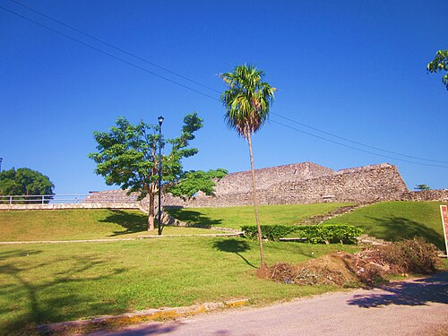
- San Felipe Fortress199 km · Mexico
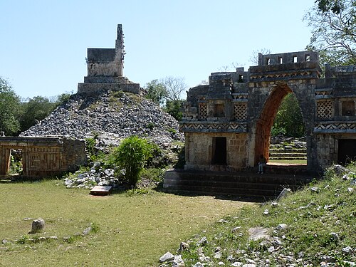
- Labna224 km · Mexico
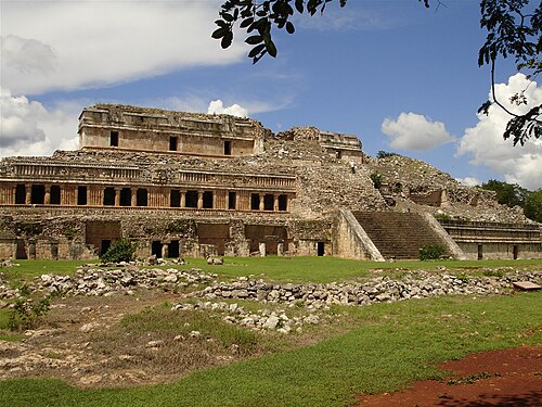
- Sayil232 km · Mexico
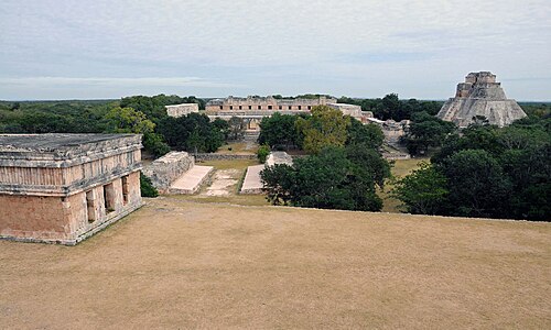
- Uxmal245 km · Mexico
More castles in Mexico
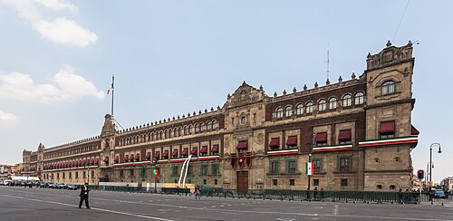
- National Palace (Mexico)Mexico · 16th century
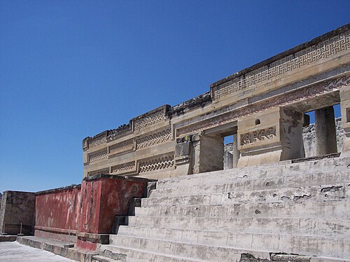
- MitlaMexico · 5th century
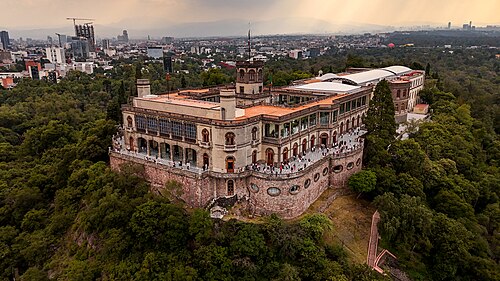
- Chapultepec CastleMexico · 18th century
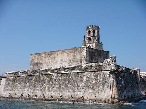
- Castle of San Juan de UlúaMexico · 16th century