 Indien · 16. Jahrhundert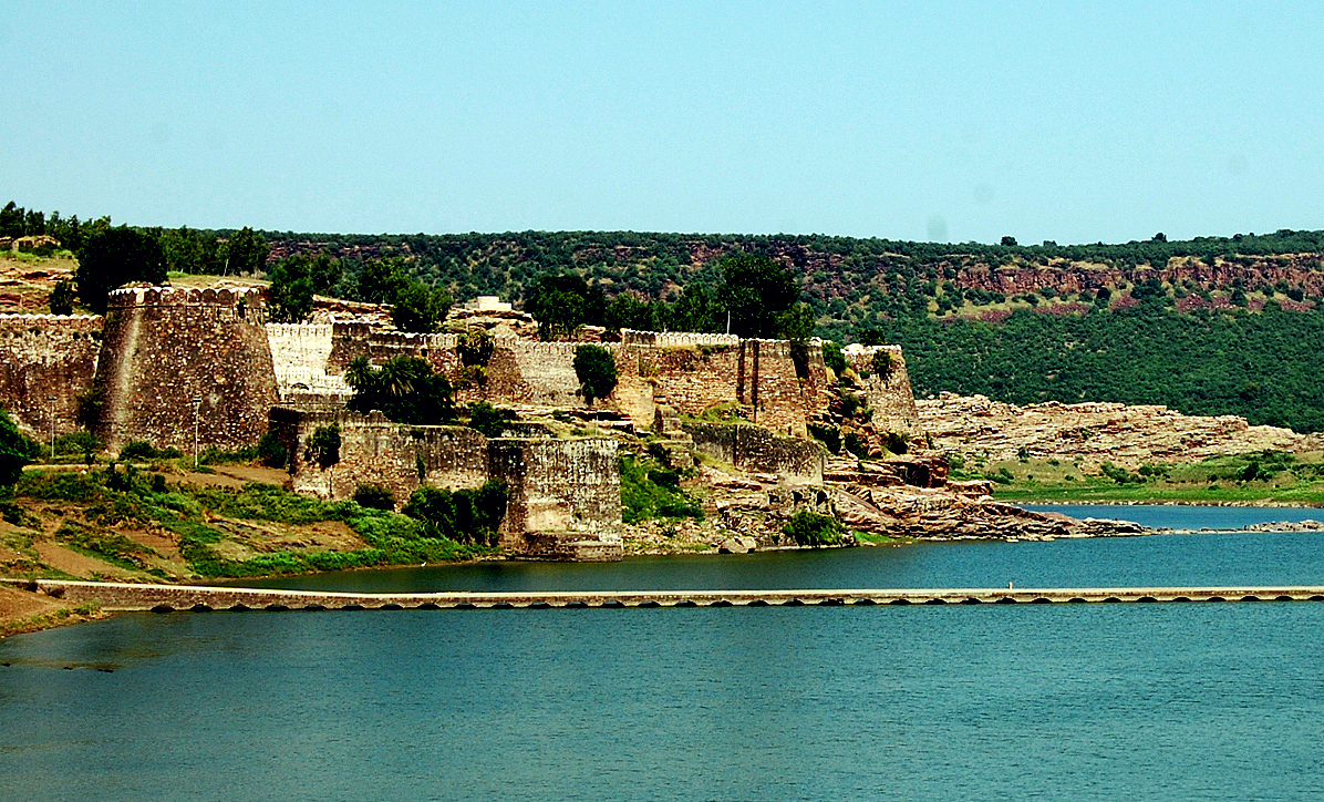
Das Fort Gagron (Hindi/Rajasthani गागरोन का किला) ist eine Höhen- und Wasserfestung im Distrikt Jhalawar in Rajasthan, in der Region Hadoti in Indien. Es liegt nur 5 km von der Stadt Jhalawar, dem Verwaltungssitz des Distrikts, entfernt. Es ist ein Beispiel für eine Höhen- und Wasserfestung. Raja Madho Bhil legte den Grundstein für das Fort Gagron; nach ihm gelangte das Fort im zwölften Jahrhundert unter die Kontrolle von Bijaldev Singh Dod (einem Parmar-Rajputen-König). Später stand das Fort auch unter der Herrschaft von Sher Shah und Akbar. Das Fort ist am Zusammenfluss der Flüsse Ahu und Kali Sindh errichtet.
Es ist auf drei Seiten von Wasser und auf der vierten Seite von einem Graben umgeben und erhielt daher den Namen Jaladurg (Hindi/Rajasthani जलदुर्ग, Übersetzung: Wasserfestung). Auf der 37. Sitzung des Welterbekomitees in Phnom Penh, Kambodscha, wurde das Fort Gagron zusammen mit fünf weiteren Forts in Rajasthan 2013 als Teil der Hügelfestungen von Rajasthan zum UNESCO-Welterbe erklärt.
Maschinell übersetzt aus „Gagron Fort“ in der englischsprachigen Wikipedia, CC BY-SA 4.0.
Gagron Fort steht weltweit auf Platz 1.234 von 9.079 im Burgen-Bekanntheitsranking des Atlas und Nr. 48 der 224 in Indien verzeichneten. Die Gründung fällt auf 1592: früher als bei 33% der datierten Objekte des Atlas, eines von 891 Atlas-Objekten, die im 16. Jahrhundert gegründet wurden. Die Wikipedia-Artikel dazu wurden in den letzten 60 Tagen 2.668-mal geöffnet, mehr als 75% des Atlas. Die Anlage gehört zu den 30 Objekten auf der Regionalkarte Rajasthan. Sehen Sie in der Burgen-Statistik, wie Indien abschneidet.
Auf der interaktiven Burgenkarte ansehen →