Fortress
Gagron Fort
 India · 16th century
- Founded
- 1592
- Heritage status
- part of UNESCO World Heritage Site · State Protected Monument
- Location
- Jhalawar district
- Coordinates
- 24.62502°, 76.18922°
- Open data
- Wikidata Q16891508
- Links
- UNESCO · OpenStreetMap · Wikimedia Commons
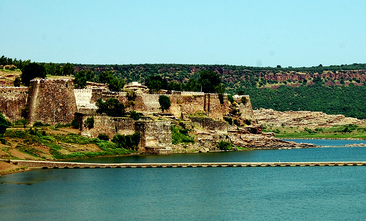
Description
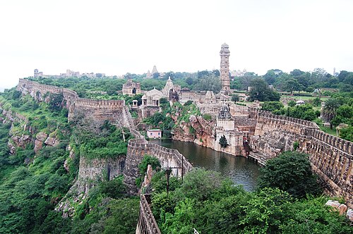
Gagron Fort (Hindi/Rajasthani: गागरोन का किला) is a hill and water fort and is situated in Jhalawar district of Rajasthan, in the Hadoti region of India. It is located just 5 km from Jhalawar city, the district headquarter. It is an example of a hill and water fort. Raja Madho Bhil laid the foundation of Gagron Fort, after him this fort came under the control of Bijaldev Singh Dod (a Parmar Rajput king) in the twelfth century. Later, the fort has also been controlled by Sher Shah and Akbar. The fort is constructed on the confluence of Ahu River and Kali Sindh River. The fort is surrounded by water on three sides and a moat on the forth side and hence earned the name Jaladurg (Hindi/Rajasthani: जलदुर्ग, translation: Water Fort).
At the 37th session of the World Heritage Committee at Phnom Penh, Cambodia, Gagron Fort, along with five other forts in Rajasthan, was declared as a UNESCO World Heritage Site in 2013 as a part of Hill Forts in Rajasthan.
Text adapted from “Gagron Fort” on Wikipedia, CC BY-SA 4.0.
In the rankings
Gagron Fort ranks #1,355 of 9,902 worldwide in the atlas's castle fame ranking, and #54 of the 238 mapped in India. Founded 1592, it is older than 33% of the atlas's dated landmarks, one of 933 atlas entries founded in the 16th century. Its Wikipedia articles were opened 2,127 times in the last 60 days, more than 75% of the atlas. It is one of the 31 landmarks on the atlas's regional map of Rajasthan. It is stop 3 of 6 on the Rajasthan hill forts, Amber to Jaisalmer. See how India compares in the castle statistics.
Castles nearby
- Umed Bhawan Palace73 km · India
- Taragarh Fort (Bundi)107 km · India
- Ranthambore Fort157 km · India
- Chittorgarh Fort158 km · India
More castles in India
- Jaigarh FortIndia · 18th century
- Shivneri FortIndia
- City Palace, JaipurIndia · 18th century
- Bhangarh FortIndia · 17th century