 Indien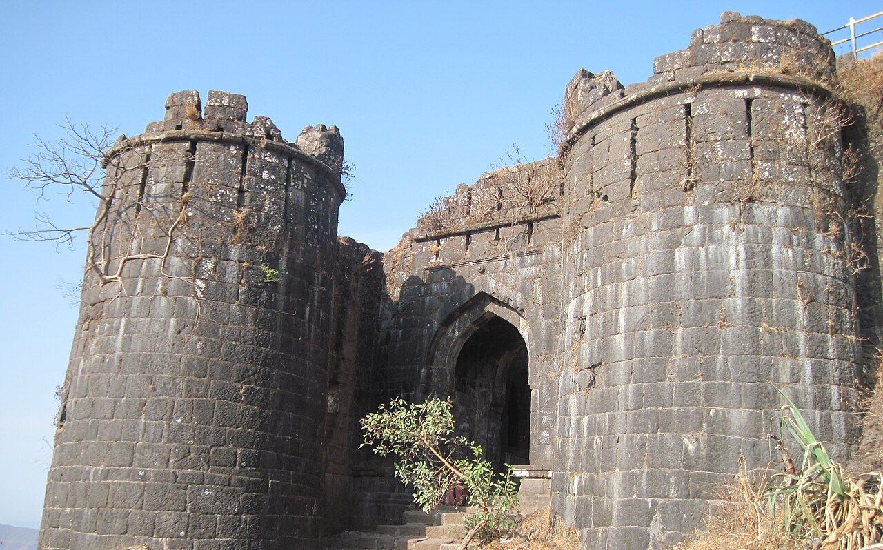
Sinhagad (auch bekannt als Löwenfestung) ist eine alte Höhenfestung etwa 28 Kilometer südwestlich von Pune, Indien. Die zuvor als Kondhana bekannte Festung war Schauplatz zahlreicher Schlachten, insbesondere der Schlacht von Sinhagad im Jahr 1670. Dies ist der höchste Gipfel von Pune.
Die Festung ist ein beliebtes Wochenendziel für die Einwohner von Pune. Eine Straße führt direkt bis zum Gipfel der Festung. Wanderer können den Gipfel vom Fuß der Festung aus erreichen, wobei die Tour einen einfachen Fußweg von 2,7 km (1,6 Meilen) umfasst und etwa 600 Meter (1950 Fuß) Höhenunterschied überwindet. Auch Sammeltaxidienste zum Fuß sowie zum Gipfel stehen zur Verfügung.
Maschinell übersetzt aus „Sinhagad“ in der englischsprachigen Wikipedia, CC BY-SA 4.0.
Sinhagad steht weltweit auf Platz 1.178 von 9.079 im Burgen-Bekanntheitsranking des Atlas und Nr. 46 der 224 in Indien verzeichneten. Die Wikipedia-Artikel dazu wurden in den letzten 60 Tagen 11.552-mal geöffnet, mehr als 95% des Atlas. Im Umkreis von 25 km stehen 3 weitere Objekte des Atlas. Der nächste Ausflugs-Guide ist Pune, 20 km entfernt. Sehen Sie in der Burgen-Statistik, wie Indien abschneidet.
Auf der interaktiven Burgenkarte ansehen →