 India
India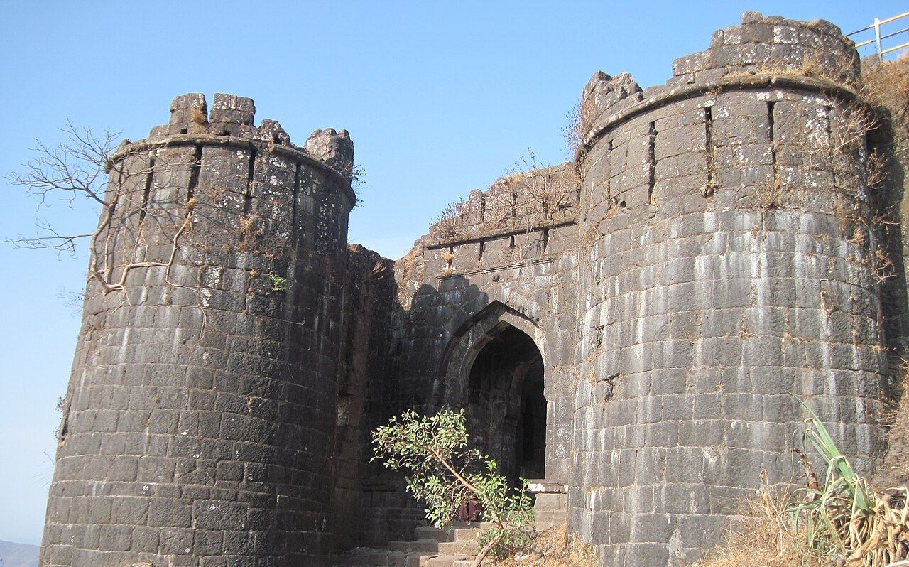
Sinhagad (also known as the Lion's Fort) is an ancient hill fortress located at around 28 kilometres southwest of Pune, India. Previously known as Kondhana, the fort has been the site of many battles, most notably the Battle of Sinhagad in 1670.This is the highest peaks of Pune.
The fort is a popular weekend destination for the residents of Pune. A road directly leads up to the summit of the fort. Hikers can get access to the summit from the base of the fort, with the trek involving a one-way walk of 2.7 km (1.6 miles), gaining approximately 600 metres (1950 feet) in elevation. Shared taxi services to the base as well as the summit are also available.
Text adapted from “Sinhagad” on Wikipedia, CC BY-SA 4.0.
Sinhagad ranks #1,178 of 9,079 worldwide in the atlas's castle fame ranking, and #46 of the 224 mapped in India. Its Wikipedia articles were opened 11,552 times in the last 60 days, more than 95% of the atlas. 3 more atlas landmarks stand within 25 km. The nearest day-trip guide is Pune, 20 km away. See how India compares in the castle statistics.
View on the interactive castle map →