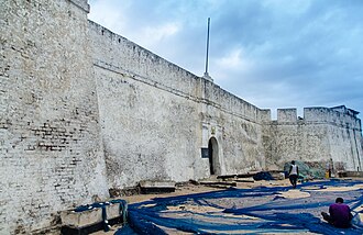
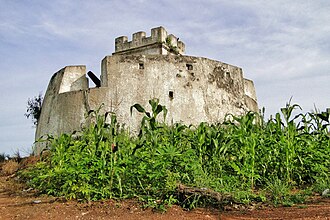
El más cercano: Fort Witsen, 2 km al este del centro; el más famoso: San Jorge de la Mina — n.º 202 de 8134 en el mundo — 50 km al este.
Todos están en Ghana — la página del país muestra el panorama completo.
🇬🇭 Ghana
23 castillos, fortalezas, palacios y ruinas a menos de 100 km del centro — todos en el mapa interactivo, con fotos, distancias y rumbos.
El más cercano: Fort Witsen, 2 km al este del centro; el más famoso: San Jorge de la Mina — n.º 202 de 8134 en el mundo — 50 km al este.
Todos están en Ghana — la página del país muestra el panorama completo.
20 km al suroeste · Fortaleza
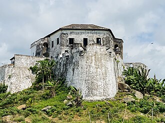
El Fuerte Batenstein fue un fuerte y puesto comercial establecido por los neerlandeses en la Costa de Oro en 1656. Estaba situado cerca de Butre.
20 km al noreste · Fortaleza
El fuerte de São Sebastião o fuerte de San Sebastián, situado en Shama, Ghana, es la tercera fortificación más antigua de Ghana y fue construido en…
24 km al suroeste · Fortaleza
El Fuerte Metal Cross, originalmente Fuerte Dixcove, es una estructura militar situada en un promontorio en la comunidad pesquera de Infuma, en…
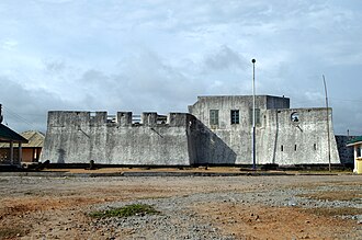
7 km al este · Fortaleza
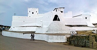
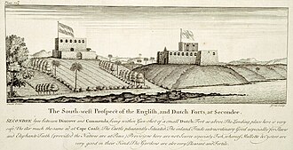
El Fuerte Orange es un fuerte situado en Sekondi, región Occidental, Ghana. Construido por los neerlandeses en 1642, se estableció originalmente como…
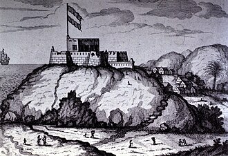
2 km al este · Ruina
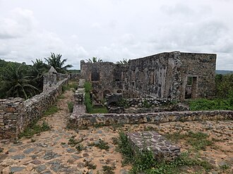
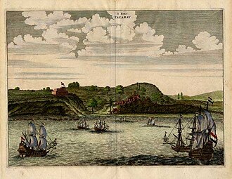
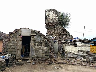
Fort Witsen, también conocido como Fort Tacaray, fue un fuerte en la Costa de Oro neerlandesa, establecido en 1665 cerca de Takoradi.
7 km al noreste · Fortaleza
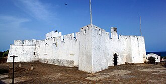
El fuerte de Sekondi, también llamado Fuerte George, fue un fuerte inglés en la Costa de Oro, construido en 1682 en Sekondi.
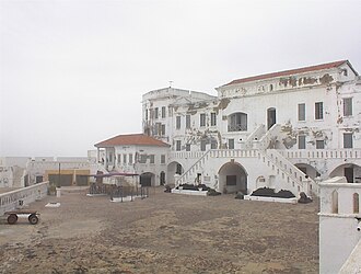
50 km al este · Castillo · n.º 202 del mundo
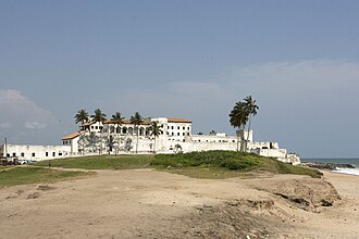
San Jorge de la Mina fue un establecimiento fortificado de dominio portugués, en la costa del golfo de Guinea, África, en el lugar que ocupa…
53 km al oeste · Fortaleza
El fuerte de San Antonio fue un fuerte construido por los portugueses en 1515 cerca de la ciudad de Axim, en lo que hoy es Ghana.
50 km al este · Fortaleza
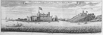
El fuerte Coenraadsburg o Conraadsburg, también fuerte São Tiago da Mina, es un pequeño fuerte situado frente al castillo de Elmina, en la Región…
43 km al oeste · Fortaleza
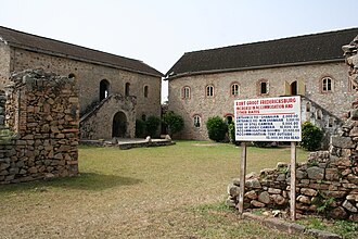
Fort Gross Fredericksburg es una fortificación situada en Princestown, en la Región Occidental de Ghana.
35 km al noreste · Fortaleza
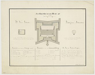
El Fuerte Vredenburgh fue un fuerte neerlandés en la Costa de Oro, establecido en la orilla izquierda del río Komenda.
35 km al noreste · Ruina
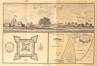
El Fuerte Komenda fue un fuerte británico en la Costa de Oro, actualmente conservado como ruina.
35 km al suroeste · Fortaleza
El Fuerte Dorothea fue una fortificación en el promontorio al sur de la actual Akwidaa, en la parte occidental de Ghana, y pertenecía entonces a la…
50 km al oeste · Fortaleza
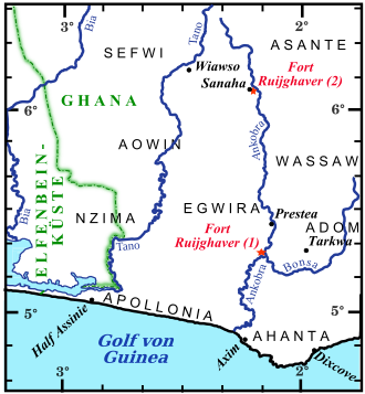
El Fuerte Ruychaver, también llamado Fuerte Ruijghaver, fue un puesto comercial neerlandés en el interior de la Costa de Oro, en la actual Ghana.
56 km al oeste · Ruina
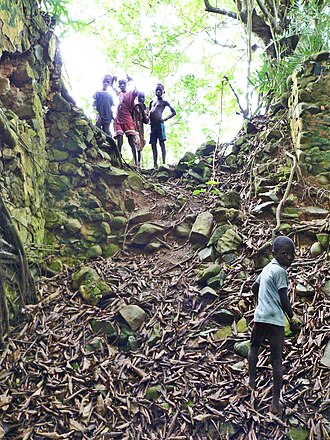
El Fort Elize Carthago fue un fuerte construido por la Compañía Neerlandesa de las Indias Occidentales en 1702 sobre una colina en la desembocadura…
50 km al este · Fortaleza
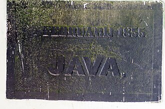
El fuerte Java era un llamado reducto, es decir, en este caso una pequeña obra de tierra circular, construida en la entonces ciudad neerlandesa de…
49 km al este · Ruina
El fuerte De Veer —o, en el original neerlandés, Veersche Schans— fue una fortificación que los neerlandeses construyeron en Elmina, Ghana, entre…
62 km al este · Castillo
El Castillo de la Costa del Cabo o Cabo Corso es una fortificación situada en Ghana.
81 km al este · Fortaleza
Fort Amsterdam es un antiguo fuerte esclavista en Abandze, región Central, Ghana.
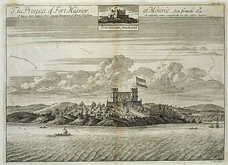
67 km al este · Fortaleza
El fuerte Nassau, cerca de Moree, Ghana, fue el primer fuerte que los neerlandeses establecieron en lo que se convertiría en la Costa de Oro…
92 km al oeste · Fortaleza
El Fuerte Apollonia es un fuerte situado en Beyin, Ghana. El nombre Apollonia fue dado a la zona por un explorador portugués que avistó el lugar el…
77 km al este · Fortaleza
Fort William es un fuerte en Anomabu, región Central, Ghana, conocido originalmente como Fort Anomabo y renombrado Fort William en la década de 1830…
61 km al este · Fortaleza
El fuerte Victoria es una estructura en Cape Coast, Ghana. Se conoció inicialmente como «Torre Phipps», en honor a su constructor original, el…
Las distancias son en línea recta desde el centro de la ciudad. Coordenadas y población: Wikidata Q243293.
El atlas Castlemap cartografía 23 monumentos (2 castillos · 17 fortalezas · 4 ruinas) a menos de 100 km en línea recta del centro de Sekondi-Takoradi — una selección de monumentos bien documentados, no un recuento de cada fortificación que existió.
Fort Witsen — ruina 2 km al este del centro de la ciudad.
San Jorge de la Mina — n.º 202 de 8134 en la clasificación por fama del atlas, 50 km al este de Sekondi-Takoradi.
Guías de ciudades cercanas: Cape Coast (61 km) · Acra (188 km). Ver también castillos medievales · todas las clasificaciones · castillos por país.