 Syria
Syria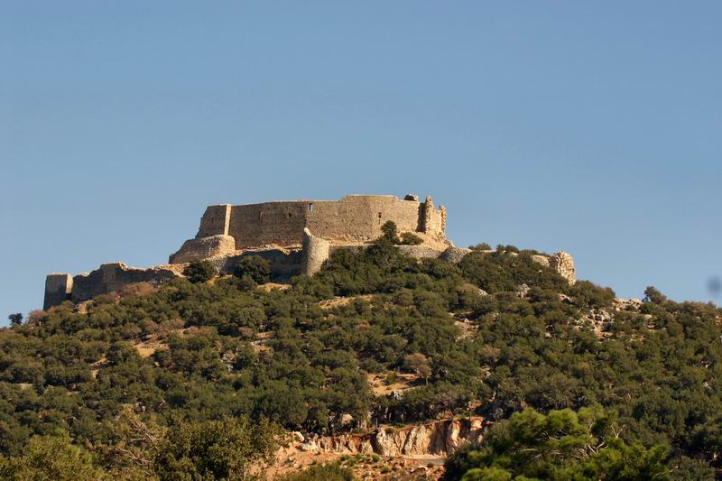
Abu Qubays (Arabic: أبو قبيس also spelled Abu Qobeis, Abu Qubais or Bu Kubais; also known as Qartal) is a former medieval castle and currently an inhabited village in northwestern Syria, administratively part of the Hama Governorate, located northwest of Hama. It is situated in the al-Ghab plain, west of the Orontes River. Nearby localities include Daliyah 21 kilometers to the west, al-Laqbah to the south, Deir Shamil to the southeast, Tell Salhab to the northeast and Nahr al-Bared further northeast. According to the Syria Central Bureau of Statistics (CBS), Abu Qubays had a population of 758 in the 2004 census. Its inhabitants are predominantly Alawites.
Text adapted from “Abu Qubays, Syria” on Wikipedia, CC BY-SA 4.0.
Abu Qubays ranks #2,979 of 9,079 worldwide in the atlas's castle fame ranking, and #19 of the 38 mapped in Syria. 4 more atlas landmarks stand within 25 km. The nearest day-trip guide is Baniyas, 36 km away. It is one of the 106 landmarks on the atlas's regional map of the Levant. See how Syria compares in the castle statistics.
View on the interactive castle map →