 Syria
Syria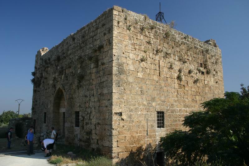
Chastel Rouge, also called Qal’at Yahmur (Arabic: قلعة يحمور, Castle of Yahmur), is a small Crusader stronghold in the North West of Syria that belonged to the County of Tripoli. It is also identified as Castrum Rubrum mentioned in Latin texts. The castle stands in the village of Yahmur, at 12 kilometres' distance from Tartus and 10 kilometres from Safita, where the Tortosa and Chastel Blanc Crusader castles can be found.
Text adapted from “Chastel Rouge” on Wikipedia, CC BY-SA 4.0.
Chastel Rouge ranks #3,152 of 9,079 worldwide in the atlas's castle fame ranking, and #20 of the 38 mapped in Syria. 3 more atlas landmarks stand within 25 km. The nearest day-trip guide is Baniyas, 41 km away. It is one of the 106 landmarks on the atlas's regional map of the Levant. See how Syria compares in the castle statistics.
View on the interactive castle map →