Castle
Aldourie Castle
 Scotland · 17th century
- Founded
- 1626
- Style
- Scottish baronial architecture
- Heritage status
- category A listed building
- Location
- Highland
- Coordinates
- 57.40372°, -4.3296°
- Open data
- Wikidata Q17571082
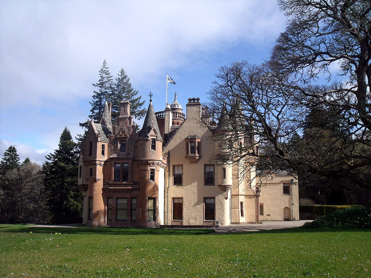
Description
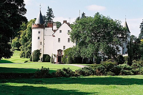
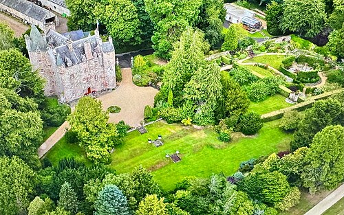
Aldourie Castle is in Scotland, situated on Strath Dore, between the southern banks of Loch Ness and the Glen leading onto Drumashie Moor. The parkland of 38.9 hectares (96 acres) extends northeast and southeast of the house. Lying close to the village of Aldourie, it originally consisted of a rectangular main block, with a round tower at the south-west corner. In the 1860s, William Fraser-Tytler extended the castle in all directions, including a balustraded round tower, oriel windows, scroll-sided dormers, turrets, corbels, rope-moulded stringing and gunloops. It underwent extensive restoration work between 2002 and 2010, and again in 2017, when the original walled Victorian kitchen garden and surrounding grounds were revived, with help from students from the National Trust for Scotland. The gardens and parkland are included in the Inventory of Gardens and Designed Landscapes in Scotland.
Text adapted from “Aldourie Castle” on Wikipedia, CC BY-SA 4.0.
In the rankings
Aldourie Castle ranks #4,424 of 9,040 worldwide in the atlas's castle fame ranking, and #157 of the 225 mapped in Scotland. Founded 1626, it is older than 28% of the atlas's dated landmarks, one of 710 atlas entries founded in the 17th century. Its Wikipedia articles were opened 2,351 times in the last 60 days, more than 73% of the atlas. 11 more atlas landmarks stand within 25 km. The nearest day-trip guide is Inverness, 11 km away. It is one of the 76 landmarks on the atlas's regional map of the Scottish Highlands. See how Scotland compares in the castle statistics.
Castles nearby
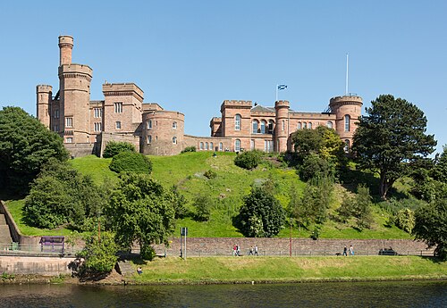
- Inverness Castle10 km · Scotland
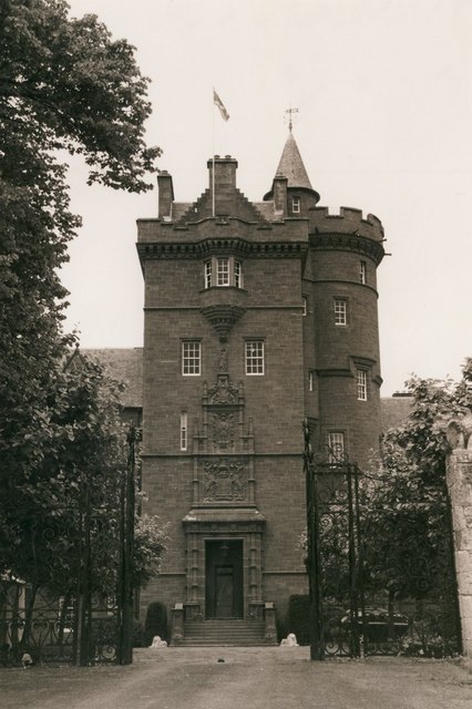
- Beaufort Castle (Scotland)11 km · Scotland
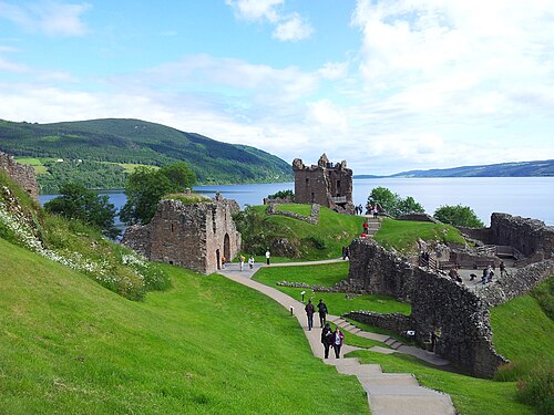
- Urquhart Castle11 km · Scotland
- Kilcoy Castle14 km · Scotland
More castles in Scotland
- Ayton CastleScotland · 19th century
- Ballone CastleScotland · 16th century
- Castle StuartScotland · 17th century
- Cortachy CastleScotland · 15th century