 Northern Ireland · 17th century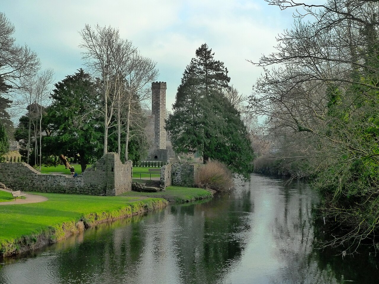
Antrim Castle or Massereene Castle was a fortified mansion in Antrim, County Antrim, Northern Ireland, on the banks of the Sixmilewater River. It was built in stages between 1613 and 1662. It was destroyed by fire in 1922 and finally demolished in the 1970s. All that remains are a slightly raised grassed platform as well as a freestanding Italian stair tower built in 1887, and a gatehouse built around 1818 with twin neo-Tudor towers, with older connecting walls. The gardens are a popular tourist attraction on the Randalstown Road in Antrim.
Text adapted from “Antrim Castle” on Wikipedia, CC BY-SA 4.0.
Antrim Castle ranks #4,827 of 9,079 worldwide in the atlas's castle fame ranking, and #20 of the 39 mapped in Northern Ireland. Founded 1666, it is older than 24% of the atlas's dated landmarks — one of 721 atlas entries founded in the 17th century. 2 more atlas landmarks stand within 25 km. The nearest day-trip guide is Belfast, 24 km away. See how Northern Ireland compares in the castle statistics.
View on the interactive castle map →