Fortress
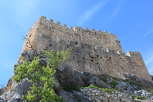
Atalaya del Infante Don Enrique
 Spain · 14th century
- Founded
- c. 1350
- Heritage status
- bien de interés cultural
- Location
- Quesada
- Elevation
- 1,189 m
- Coordinates
- 37.78843°, -3.03738°
- Open data
- Wikidata Q86841974
- Links
- OpenStreetMap · Wikimedia Commons
Description
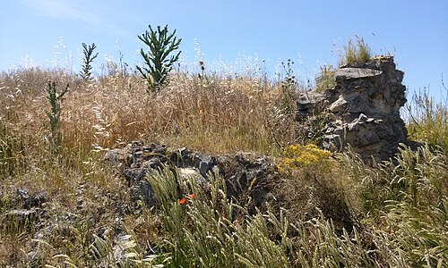
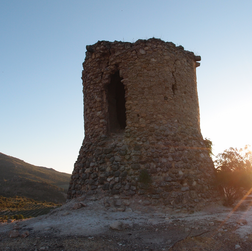
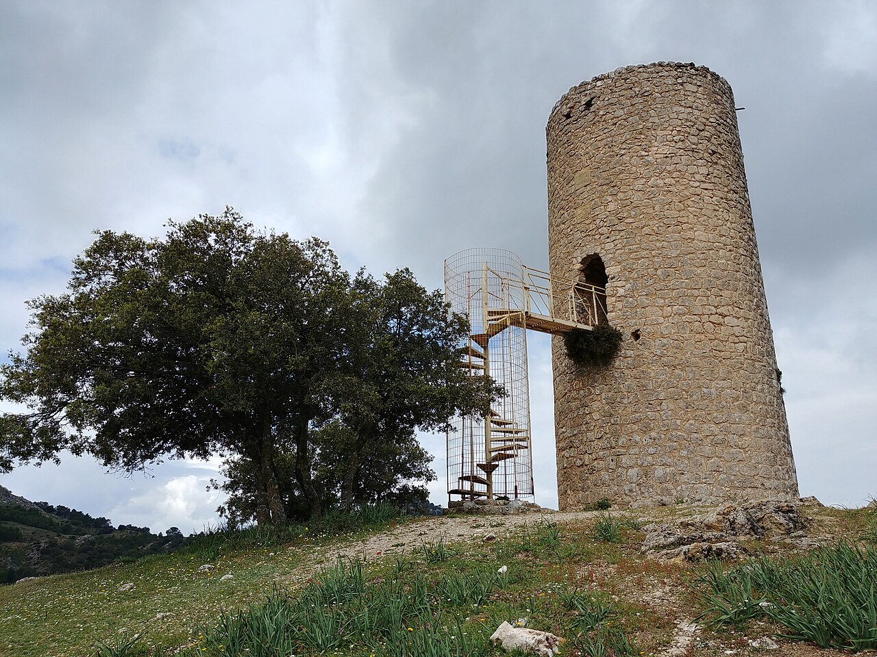
The Atalaya del Infante Don Enrique, also known as the Atalaya del Puerto de Tíscar, or the Torre Castellón de Fique, built in the 14th century by the Infante Don Enrique, is located in the municipality of Quesada, at the highest and most strategic point of the Puerto de Tíscar (formerly known as Puerto Ausín), situated at 1,189 metres above sea level. It was formerly known as the Torre de las Ahumadas, because it was customary to light fires by night and smoke signals («ahumadas») by day to warn of the presence of the enemy over great distances.
Machine-translated from “Atalaya del Infante Don Enrique” on the Spanish Wikipedia, CC BY-SA 4.0.
In the rankings
Atalaya del Infante Don Enrique ranks #9,708 of 9,902 worldwide in the atlas's castle fame ranking, and #636 of the 646 mapped in Spain. Founded c. 1350, it is older than 55% of the atlas's dated landmarks, one of 797 atlas entries founded in the 14th century. 2 more atlas landmarks stand within 25 km. The nearest day-trip guide is Jaén, 66 km away. It is one of the 131 landmarks on the atlas's regional map of Andalusia. See how Spain compares in the castle statistics.
Castles nearby
- Castillo de la Yedra14 km · Spain
- Castillo La Iruela15 km · Spain
- Torre de Cuadros33 km · Spain
- Castillo de Albanchez de Mágina38 km · Spain
More castles in Spain
- Torre de la CabezaSpain
- Torre de la MoralejaSpain