 Spain
Spain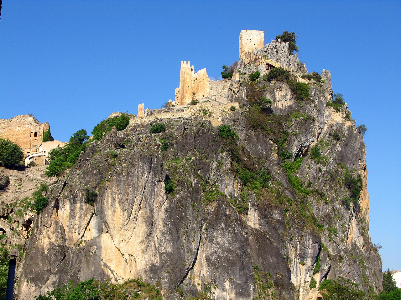
Castillo La Iruela is a fortress of Andalusi origin located in La Iruela, in the Alto Guadalquivir district, province of Jaén, in the autonomous community of Andalusia, in Spain. It stands on the summit of a crag called El Picacho, in the heart of the Sierras de Cazorla, Segura y Las Villas natural park.
It is under the generic protection of the Decree of 22 April 1949 and of Law 16/1985 on Spanish Historical Heritage.
It is therefore an asset of cultural interest with the category of monument.
La Iruela was declared a historic-artistic ensemble in 1985.
Machine-translated from “Castillo de la Iruela” on the Spanish Wikipedia, CC BY-SA 4.0.
Castillo La Iruela ranks #7,988 of 9,079 worldwide in the atlas's castle fame ranking, and #441 of the 607 mapped in Spain. 2 more atlas landmarks stand within 25 km. The nearest day-trip guide is Jaén, 72 km away. It is one of the 124 landmarks on the atlas's regional map of Andalusia. See how Spain compares in the castle statistics.
View on the interactive castle map →