 Poland · 14th century
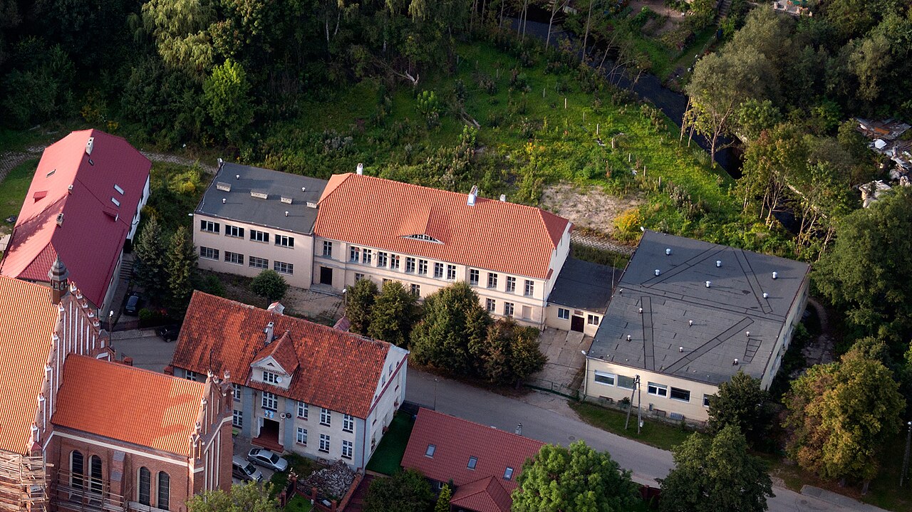
Barczewo Castle ranks #8,064 of 9,040 worldwide in the atlas's castle fame ranking, and #328 of the 397 mapped in Poland. Founded 1364, it is older than 54% of the atlas's dated landmarks, one of 758 atlas entries founded in the 14th century. 2 more atlas landmarks stand within 25 km. The nearest day-trip guide is Kaliningrad, 99 km away. It is one of the 25 landmarks on the atlas's regional map of Warmia and Masuria. See how Poland compares in the castle statistics.
Barczewo Castle (Polish: Zamek w Barczewie) was a castle in Barczewo, Olsztyn County, Warmian-Masurian Voivodeship, Poland. No traces of the castle remain.
The castle in Barczewo was erected by Bishop John II Styprock in 1364 simultaneously with the city walls. Destroyed in 1414, it was subsequently rebuilt. The partitions acted as an episcopal seat of wealthy lords. Burned down in 1798, it has since been progressively dismantled. Between 1826 and 1832 a school existed here, only a Gothic style residential wing remains of that school.
The castle has the layout of an irregular quadrilateral. It consisted of a dwelling and outbuilding adjacent to one another.
Text adapted from “Barczewo Castle” on Wikipedia, CC BY-SA 4.0.
View on the interactive castle map →