 Sweden · 14th century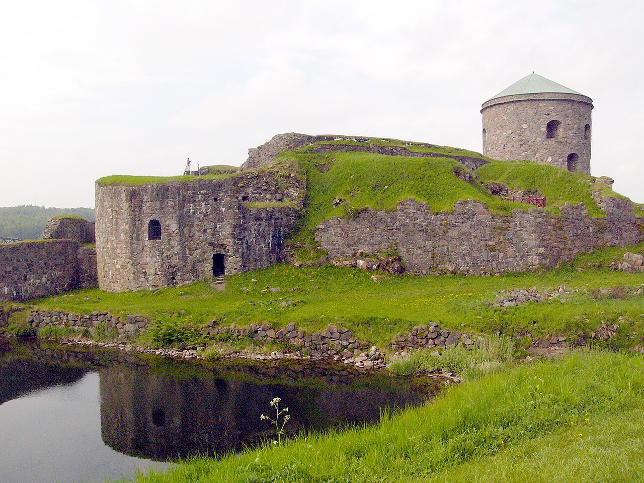
Bohus Fortress lies in Kungälv, Bohuslän, Sweden, north east from Hisingen where the Göta river splits into two branches (20 km (12 mi) north of Gothenburg). It commands the surrounding area from a cliff 40 m (130 ft) high, with the river forming a natural moat around it. The fortress used to be situated along the old Norwegian–Swedish border.
The construction of Bohus Fortress (Norwegian: Båhus festning, Swedish: Bohus fästning) began in 1308 under King Haakon V Magnuson, king of Norway from 1299 to 1319. Håkon V also initiated construction of Norwegian fortresses at Akershus and Vardøhus as part of a broader defensive policy. At the time Bohuslän (Båhuslen) was Norwegian territory and served as the main Norwegian defence against Sweden, along the coast as well as the strong point for the Bohuslän region from 1308 to 1658.
By 1310, records show it was constructed, as normal for that period, out of granite and brick, perhaps under the guidance of Count Jacob of Halland. By 1450, it included a continuous surrounding wall, 3 metres thick at the base, with a height which varied from 8.5 to 13.5 metres, varying with the terrain. It was approximately rectangular, with four rectangular corner towers. At the eastern end there was a brick tower, and in the centre of the west side a gate house and drawbridge. Along the inside of the surrounding wall buildings were located which among other things included the 'Kings hall', the castle commander's residence, the chapel, the guardroom, the barracks and the kitchen.
The fortress had secure vaulted positions, partly cut into the mountain, and beyond that strong outer-works. At the time Båhus was Norway's strongest fortress. The approaches were very difficult and the area to be defended was small, only 250 x 150 metres, so it did not require a large defensive force.
The fortress was attacked or besieged 14 times, but was never captured. In February 1564, the fortress was unsuccessfully besieged by a Swedish army. Later, it was seriously damaged. This occurred in 1566, when Swedish forces successfully stormed the 'Red Tower' in the northeast of the fortress. Two men from the garrison volunteered to detonate the tower's magazine, causing a massive explosion (the "Bohus Bang") which killed hundreds of Swedish soldiers and thwarted the attack.
Text adapted from “Bohus Fortress” on Wikipedia, CC BY-SA 4.0.
Bohus Fortress ranks #683 of 9,079 worldwide in the atlas's castle fame ranking, and #13 of the 209 mapped in Sweden. Founded 1308, it is older than 60% of the atlas's dated landmarks — one of 755 atlas entries founded in the 14th century. Its Wikipedia articles were opened 10,399 times in the last 60 days, more than 94% of the atlas. 7 more atlas landmarks stand within 25 km. The nearest day-trip guide is Gothenburg, 17 km away. See how Sweden compares in the castle statistics.
View on the interactive castle map →