 Sweden · 17th century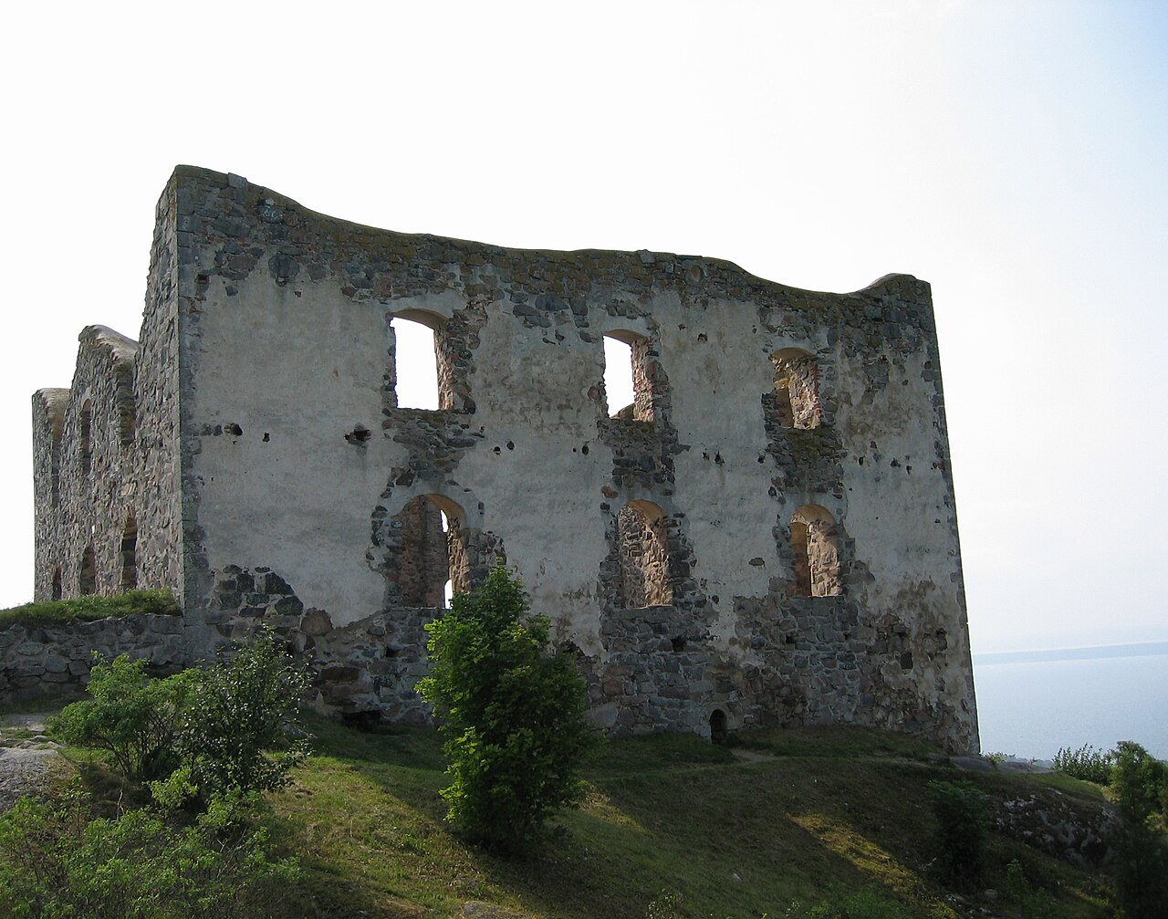
The ruins of Brahehus Castle are located 3 km (2 mi) outside of Gränna in Jönköping County in the province of Småland, Sweden. The ruins sit 270 m (890 ft) above sea level and 180 m (590 ft) above the lake Vättern, providing a panoramic view of the lake and the island of Visingsö. Built for and named after Count Per Brahe the Younger in the 1640s, the castle was abandoned by the 1680s and suffered a fire in 1708. The castle is near the modern E4 highway and is a popular destination for recreation and tourism.
Text adapted from “Brahehus” on Wikipedia, CC BY-SA 4.0.
Brahehus ranks #1,210 of 9,079 worldwide in the atlas's castle fame ranking, and #28 of the 209 mapped in Sweden. Founded c. 1650, it is older than 25% of the atlas's dated landmarks — one of 721 atlas entries founded in the 17th century. Its Wikipedia articles were opened 10,695 times in the last 60 days, more than 94% of the atlas. 3 more atlas landmarks stand within 25 km. The nearest day-trip guide is Linköping, 77 km away. See how Sweden compares in the castle statistics.
View on the interactive castle map →