Ruin
Büraburg
🇩🇪 Germany
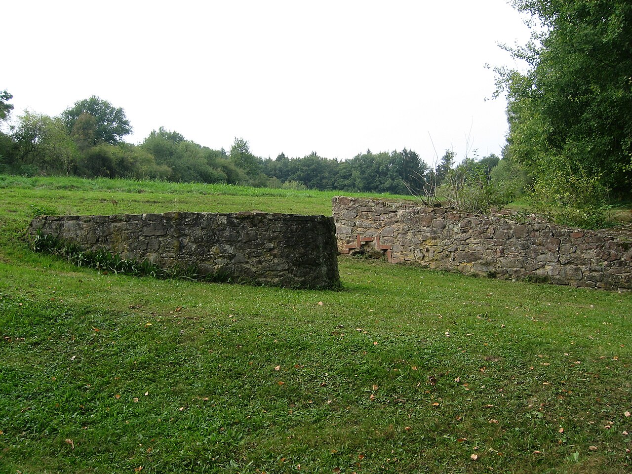
The Büraburg was a prominent hill castle with historic significance, on the Büraberg hill overlooking the Eder river near the town of Fritzlar in northern Hesse (Germany). Only foundation walls remain, and a church dedicated to St. Brigida.
A Christian monastery was already located on the hill in the seventh century. It was occupied by the Franks c. 690, who fortified it with a castle and kept a mounted garrison there. The Franks supported the missionary efforts of Saint Boniface, who cut down the Donar Oak in nearby Geismar and established a short-lived bishopric in Büraburg.
Text adapted from “Büraburg” on Wikipedia, CC BY-SA 4.0.
Büraburg ranks #5,601 of 8,134 worldwide in the atlas's castle fame ranking, and #431 of the 505 mapped in Germany. 6 more atlas landmarks stand within 25 km. See how Germany compares in the castle statistics.
View on the interactive castle map →Frequently asked questions
Where is Büraburg?
Büraburg stands in Germany, at 51.12056°, 9.23639°.
How famous is Büraburg?
In this atlas's fame ranking: #5,601 of 8,134 worldwide, and #431 in Germany. Fame here combines how many Wikipedia language editions cover a landmark with how many people read them.
What is the nearest castle to Büraburg?
Altenburg, about 15 km away.
More castles in Germany
- Horneck Castle Germany · 12th century
- Neuscharfeneck Castle Germany · 13th century
- Alt-Geroldseck Castle Germany · 11th century
- Trutzeltz Castle Germany · 14th century
More ruins
- Castle Wolkenstein Italy
- Iłża Castle Poland · 14th century
- Hamrštejn Czech Republic · 14th century
- Krásný Buk Castle Czech Republic · 13th century