Ruin
Burg Eppstein
 Germany
- Heritage status
- cultural heritage monument in Hesse
- Location
- Eppstein
- Coordinates
- 50.1404°, 8.39314°
- Open data
- Wikidata Q1011635
- Links
- Wikimedia Commons
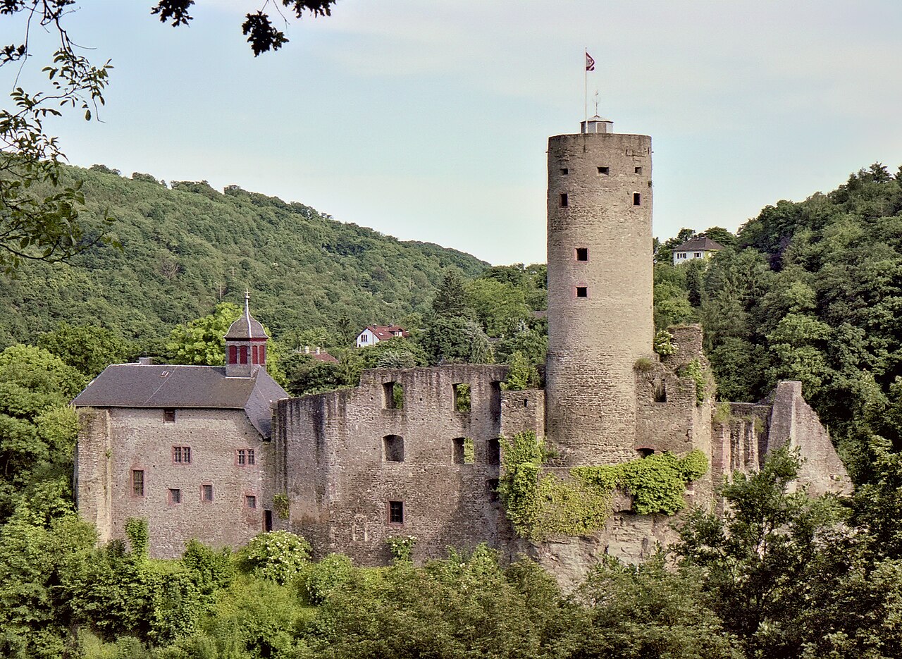
Description
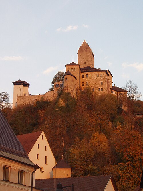
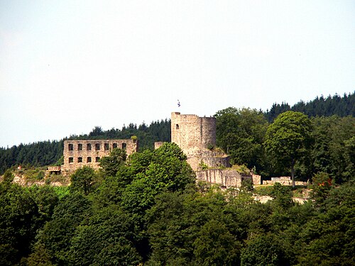
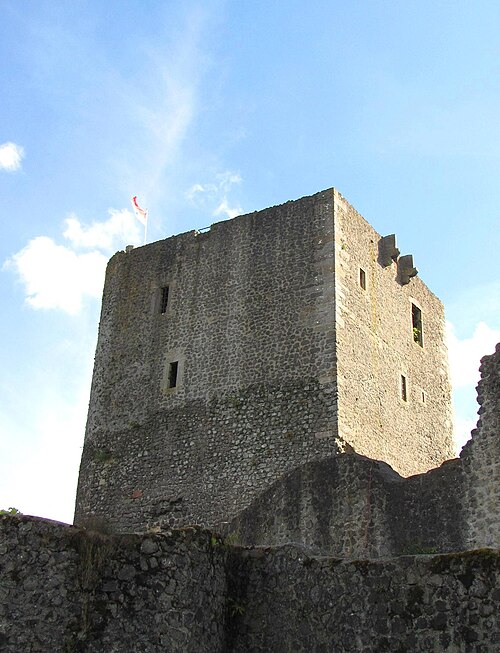
Burg Eppstein is the ruin of a hill castle going back to the 10th century, at 200 m above sea level (NN) above the Hessian town of Eppstein in the Main-Taunus-Kreis. Built on the rock spur of a ridge and separated from the ridge by a neck ditch, it is a typical spur castle. It was the main residence of the lords of Eppstein, who named themselves after their ancestral castle.
By the beginning of the 14th century a settlement had formed at the foot of the castle, which was granted town rights in 1318. From it grew the present-day town of Eppstein.
Machine-translated from “Burg Eppstein” on the German Wikipedia, CC BY-SA 4.0.
In the rankings
Burg Eppstein ranks #7,307 of 9,902 worldwide in the atlas's castle fame ranking, and #795 of the 927 mapped in Germany. 16 more atlas landmarks stand within 25 km. The nearest day-trip guide is Wiesbaden, 13 km away. See how Germany compares in the castle statistics.
Castles nearby
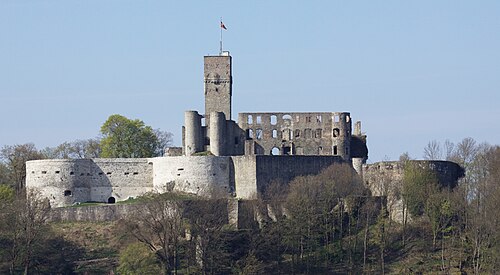
- Königstein Castle7 km · Germany
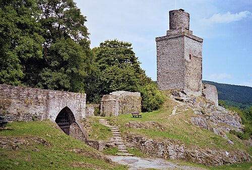
- Falkenstein Castle8 km · Germany
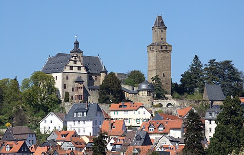
- Kronberg Castle9 km · Germany
- Schlosshotel Kronberg10 km · Germany
More castles in Germany
- Burg KipfenbergGermany
- Burg WindeckGermany · 12th century
- WeidelsburgGermany · 13th century
- SchelenburgGermany · 12th century