 Germany · 12th century
Burg Landshut ranks #3,802 of 9,040 worldwide in the atlas's castle fame ranking, and #312 of the 714 mapped in Germany. Founded 1200, it is older than 75% of the atlas's dated landmarks, one of 763 atlas entries founded in the 12th century. Its Wikipedia articles were opened 1,966 times in the last 60 days, more than 69% of the atlas. 4 more atlas landmarks stand within 25 km. The nearest day-trip guide is Trier, 36 km away. It is one of the 51 landmarks on the atlas's regional map of the Moselle. It is stop 5 of 36 on the Moselle castle route, Trier to Koblenz. See how Germany compares in the castle statistics.
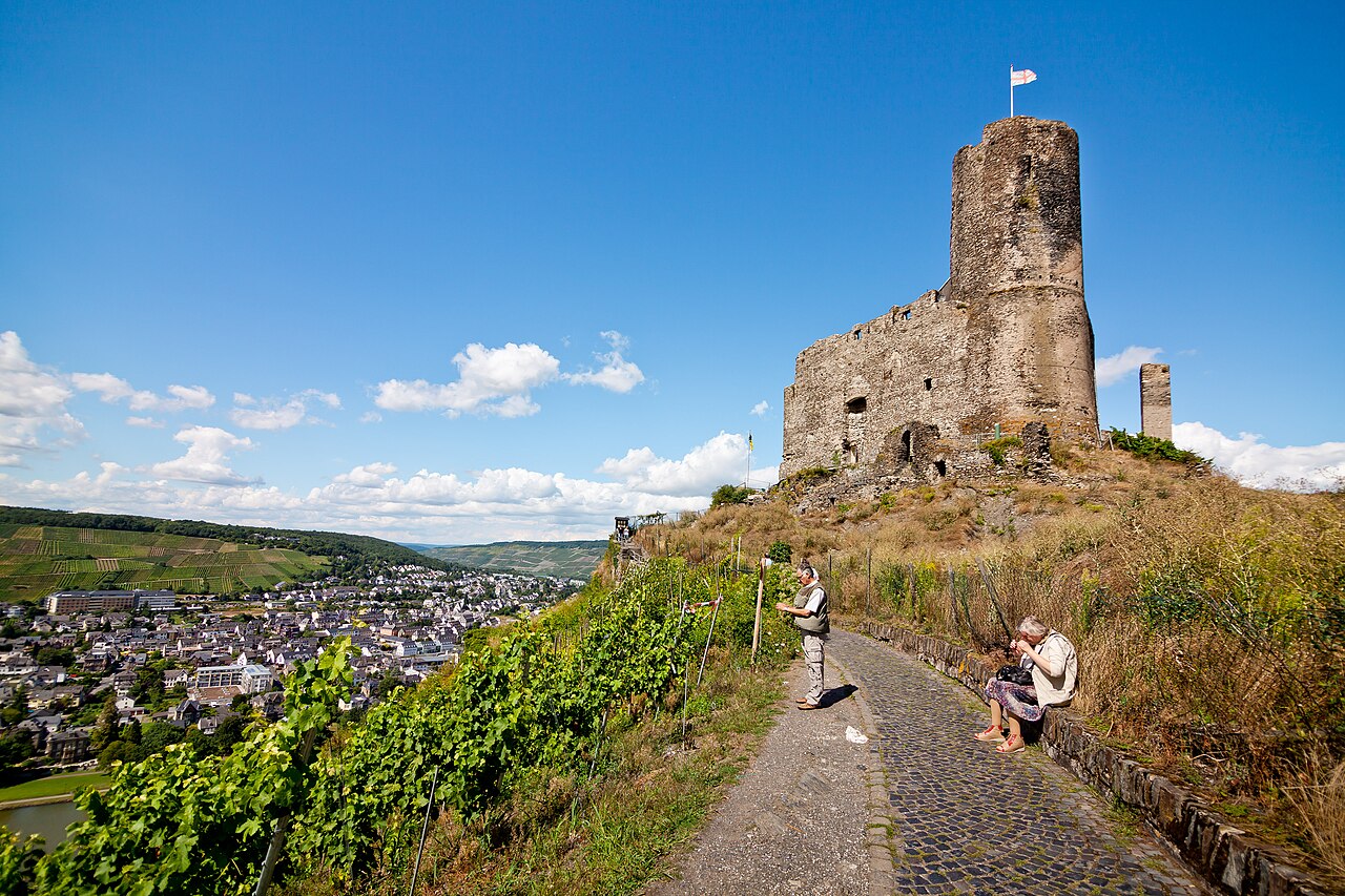
Burg Landshut is the ruin of a hilltop castle in Bernkastel-Kues in the Bernkastel-Wittlich district in Rhineland-Palatinate.
Machine-translated from “Burg Landshut” on the German Wikipedia, CC BY-SA 4.0.
View on the interactive castle map →