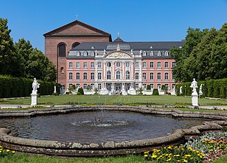
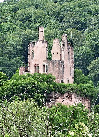
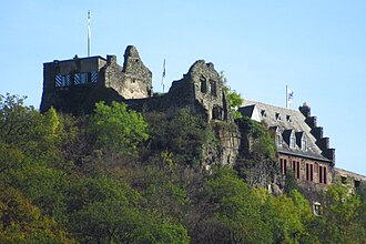
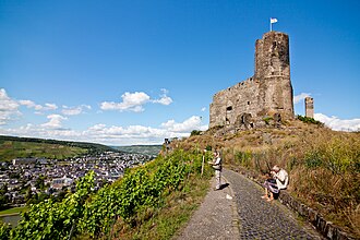
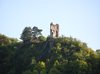
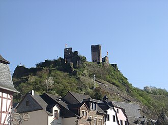
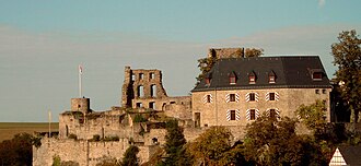
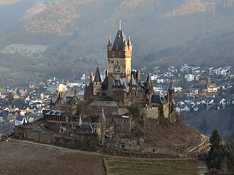
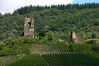
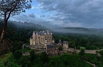
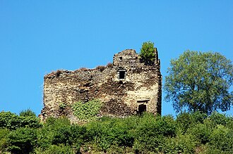
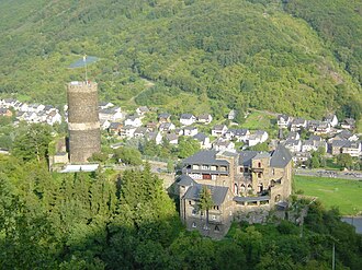
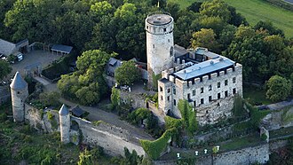
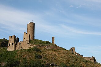
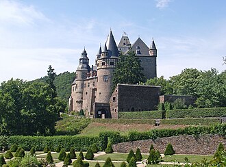
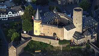
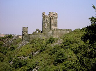
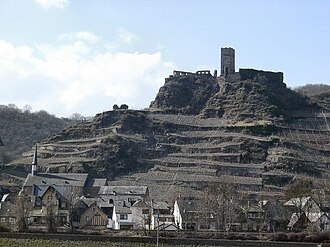
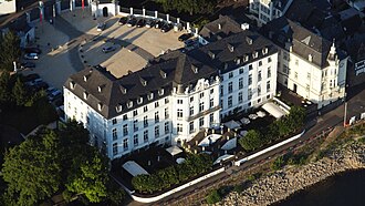
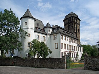
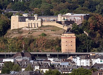
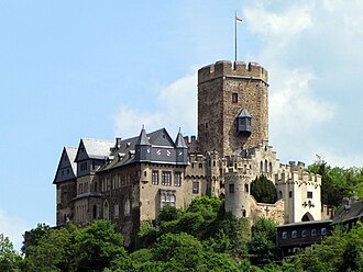
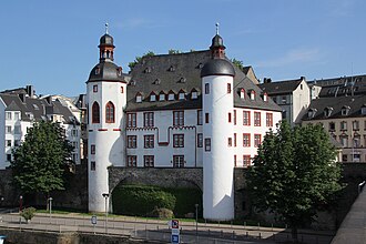
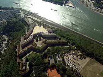
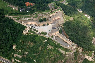
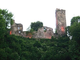
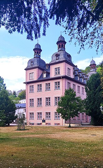
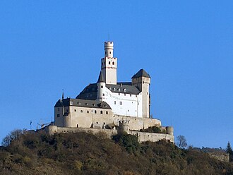
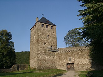
The Moselle takes nearly 200 kilometres of loops to cover the 100 that separate Trier from Koblenz, and the castles stand on the inside of the bends, where a wall could watch two reaches of water at once. The valley was the country of the Archbishop-Electors of Trier, and the best known of the survivors, Burg Eltz, has been lived in by the same family since the 12th century.
What this atlas maps on the Moselle castle route
That is every atlas landmark within 12 km of the line, spanning 2nd century to 19th century. Nobody picked them: the geography did.
The best known is Eltz Castle, ranked 74 of the 9,035 landmarks in the atlas by Wikipedia presence and real readership. The oldest is Porta Nigra, founded 180.
The route runs through Germany. The same ground, without the itinerary: Castles on the Moselle.
Travelling it
The B53 follows the river from Trier to Alf and the B49 takes over to Koblenz, with the Moselle cycle path on the flat beside them. Eltz is the exception to the river rule: it hides in a side valley, a short walk up from the nearest car park.
Day-trip guides for the towns and cities along it: Luxembourg · Koblenz · Trier.
See the route on the map →