Ruin
Burg Montclair
 Germany
- Heritage status
- architectural heritage monument
- Location
- Mettlach
- Coordinates
- 49.4956°, 6.55778°
- Open data
- Wikidata Q1013137
- Links
- Wikimedia Commons
Description
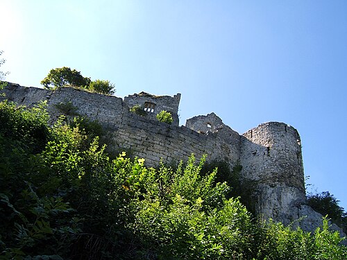
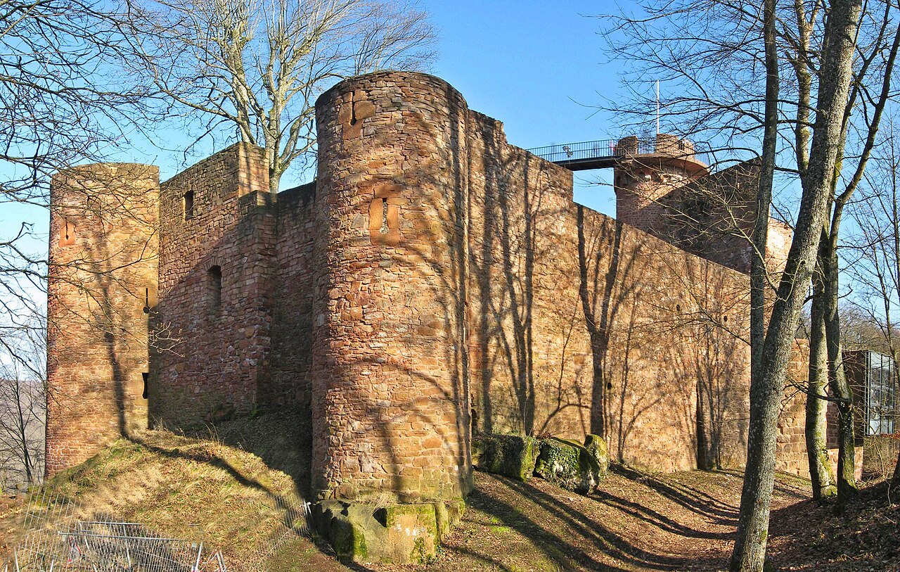
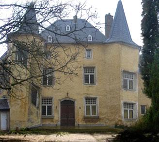
Burg Montclair (“Munzlar”) (Lat. mons clarus = bright mountain) is a medieval castle ruin near Mettlach, a municipality in the district of Merzig-Wadern (Saarland). In the Middle Ages the castle was one of the most important fortifications on the lower Saar and served to control the river as a traffic artery. At almost 900 metres in length, the predecessor complex “Alt-Montclair”, razed in 1351, was among the largest castles of the High Middle Ages in Germany.
Machine-translated from “Burg Montclair” on the German Wikipedia, CC BY-SA 4.0.
In the rankings
Burg Montclair ranks #6,577 of 9,902 worldwide in the atlas's castle fame ranking, and #686 of the 927 mapped in Germany. Its Wikipedia articles were opened 1,128 times in the last 60 days, more than 59% of the atlas. 8 more atlas landmarks stand within 25 km. The nearest day-trip guide is Trier, 30 km away. It is one of the 54 landmarks on the atlas's regional map of the Moselle. See how Germany compares in the castle statistics.
Castles nearby
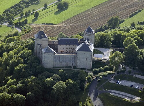
- Château de Malbrouck
 10 km · France
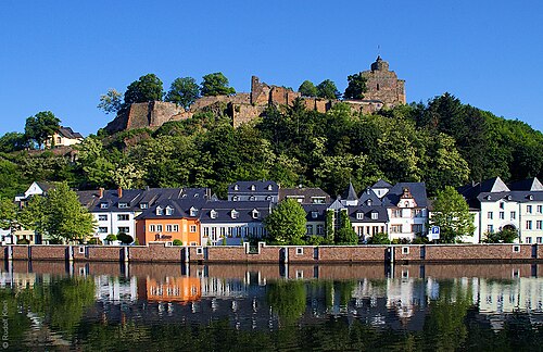
- Burg Saarburg13 km · Germany
- Schengen Castle
 14 km · Luxembourg
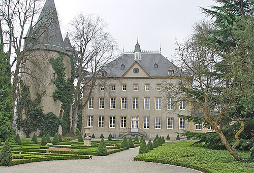
- Wintrange Castle15 km · Luxembourg
More castles in Germany
- Burg KatzenelnbogenGermany
- Jagdschloss GelbensandeGermany
- Hohenurach CastleGermany · 11th century
- Schloss RalswiekGermany