Ruin
Burg Saarburg
 Germany · 10th century
- Founded
- 964
- Heritage status
- cultural heritage monument in Rhineland-Palatinate
- Location
- Saarburg
- Coordinates
- 49.6096°, 6.55514°
- Open data
- Wikidata Q2209157
- Links
- Wikimedia Commons
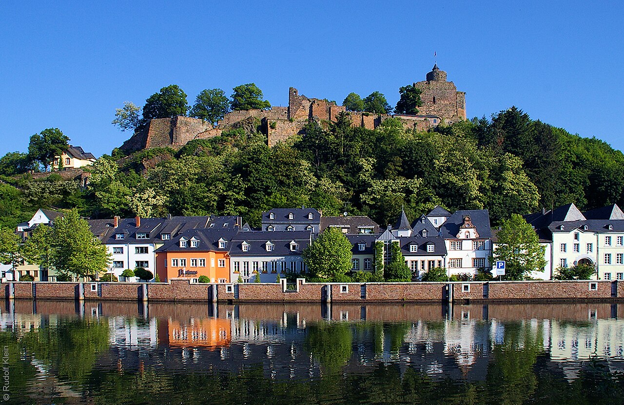
Description
The Saarburg is the ruin of a hill castle on a southern spur of the 206,5 m ü. NHN high Schloßberg above the town of Saarburg in the district of Trier-Saarburg in Rhineland-Palatinate. It is one of the oldest hill castles in the west of Germany.
Machine-translated from “Saarburg (Burg)” on the German Wikipedia, CC BY-SA 4.0.
In the rankings
Burg Saarburg ranks #7,469 of 9,902 worldwide in the atlas's castle fame ranking, and #820 of the 927 mapped in Germany. Founded 964, it is older than 92% of the atlas's dated landmarks, one of 206 atlas entries founded in the 10th century. 10 more atlas landmarks stand within 25 km. The nearest day-trip guide is Trier, 17 km away. It is one of the 54 landmarks on the atlas's regional map of the Moselle. See how Germany compares in the castle statistics.
Castles nearby
- Burg Montclair13 km · Germany
- Born Castle
 17 km · Luxembourg
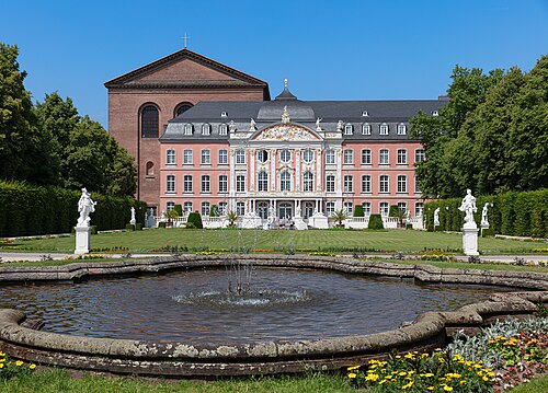
- Electoral Palace (Trier)17 km · Germany
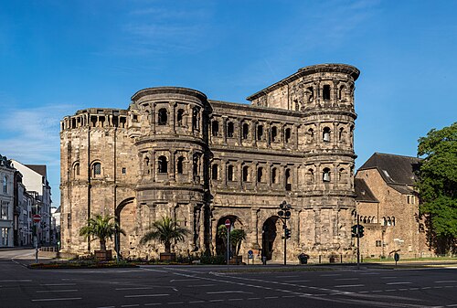
- Porta Nigra18 km · Germany
More castles in Germany
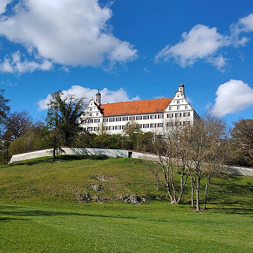
- Schloss MochentalGermany
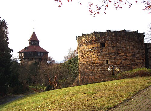
- Esslinger BurgGermany
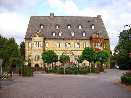
- Schloss ErwitteGermany · 17th century
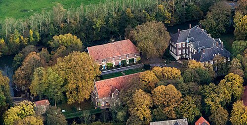
- Haus SteinfurtGermany · 16th century