Ruin
Burg Neuhaus bei Stubenberg
 Austria · 14th century
- Founded
- c. 1350
- Heritage status
- Listed objects in Austria
- Location
- Stubenberg
- Coordinates
- 47.2456°, 15.78°
- Open data
- Wikidata Q1013292
- Links
- Wikimedia Commons

Description
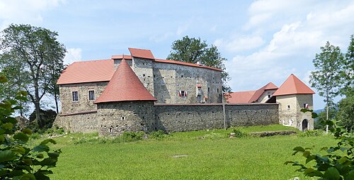
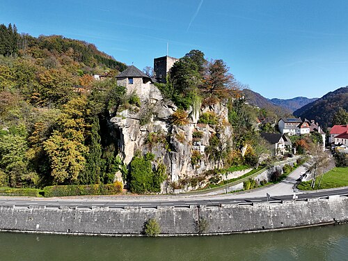
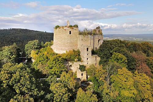
Burg Neuhaus bei Stubenberg is a renovated castle ruin in Stubenberg, Styria. It is located above the ravine of the Feistritz river named Stubenbergklamm (Stubenberg ravine).
The castle was constructed in the mid-14th century by the House of Stubenberg. Records from 1375 document the name "Hans from Neuhaus". Later, the Drachsler family and the counts of Wurmbrand owned the castle. The counts of Wurmbrand reinforced the castle as the Turks threatened the area. Administration of the castle was later relocated to Altschielleiten. Around 1800 the castle was destroyed almost totally by lightning.
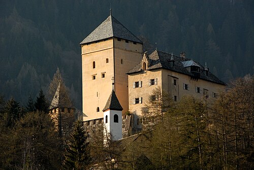
Ongoing decay during the next 200 years almost totally destroyed the castle. Only due to the extraordinary strength and thickness of the walls enough substance remained to start a revitalization. Today, the reconstruction of the medieval tower house is almost finished. It is most likely the oldest high-rise building in Styria with a height of 32 metres (105 ft). Two adjoining buildings are being reconstructed. The castle was assigned with the Styrian emblem.
Text adapted from “Burg Neuhaus bei Stubenberg” on Wikipedia, CC BY-SA 4.0.
In the rankings
Burg Neuhaus bei Stubenberg ranks #8,835 of 9,902 worldwide in the atlas's castle fame ranking, and #311 of the 316 mapped in Austria. Founded c. 1350, it is older than 55% of the atlas's dated landmarks, one of 797 atlas entries founded in the 14th century. 5 more atlas landmarks stand within 25 km. The nearest day-trip guide is Graz, 32 km away. See how Austria compares in the castle statistics.
Castles nearby
- Schloss Schielleiten4 km · Austria
- Schloss Herberstein4 km · Austria
- Burgruine Waxenegg8 km · Austria
- Burg Neuberg13 km · Austria
More castles in Austria
- Burg PibersteinAustria · 13th century
- Burg WerfensteinAustria · 13th century
- Burgruine GroppensteinAustria
- Landsee CastleAustria · 12th century