Ruin
Burg Staufen
 Germany · 11th century
- Founded
- 1100
- Location
- Staufen im Breisgau
- Coordinates
- 47.88617°, 7.73164°
- Open data
- Wikidata Q1014070
- Links
- Wikimedia Commons
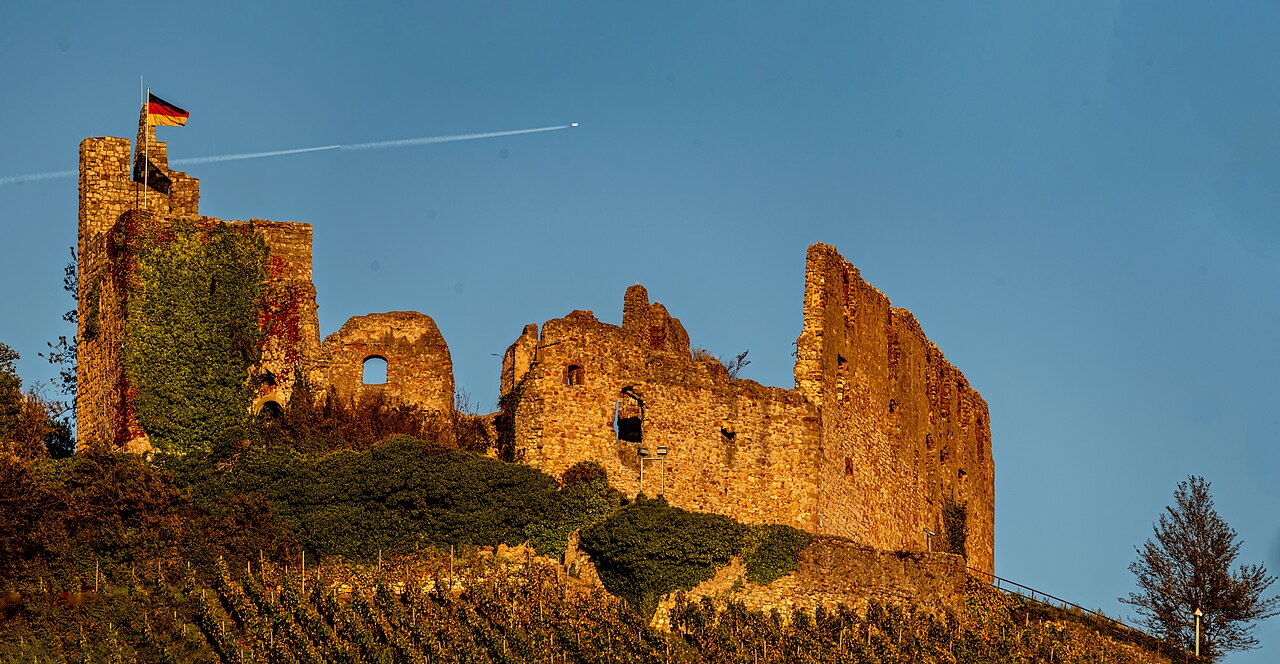
Description
Burg Staufen is the ruin of a hill castle in an exposed position on the Schlossberg, 375 m above sea level (NHN), in the north of the town of Staufen im Breisgau in the district of Breisgau-Hochschwarzwald in Baden-Württemberg.
Machine-translated from “Burg Staufen (Breisgau)” on the German Wikipedia, CC BY-SA 4.0.
In the rankings
Burg Staufen ranks #5,270 of 9,902 worldwide in the atlas's castle fame ranking, and #474 of the 927 mapped in Germany. Founded 1100, it is older than 85% of the atlas's dated landmarks, one of 458 atlas entries founded in the 11th century. Its Wikipedia articles were opened 2,751 times in the last 60 days, more than 79% of the atlas. 9 more atlas landmarks stand within 25 km. The nearest day-trip guide is Freiburg im Breisgau, 15 km away. See how Germany compares in the castle statistics.
Castles nearby
- Burg Neuenfels8 km · Germany
- Schneeburg10 km · Germany
- Burg Badenweiler10 km · Germany
- Stockburg11 km · Germany
More castles in Germany
- Berlepsch CastleGermany · 14th century
- Burg LinnGermany
- Schloss HülchrathGermany · 12th century
- Rosenberg FortressGermany