Castle
Stockburg
🇩🇪 Germany
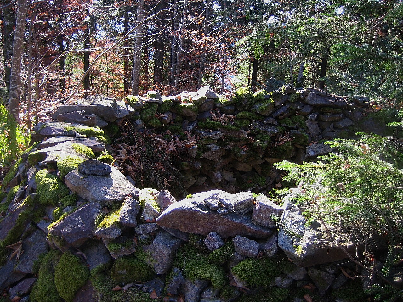
The Stockburg is a vanished hilltop castle on the 1,074.4 m high conical summit of the Stockberg between the valleys of the Klemmbach and the Kander on the boundary between the municipal areas of Badenweiler and Malsburg-Marzell in Baden-Württemberg.
Machine-translated from “Burg Stockburg” on the German Wikipedia, CC BY-SA 4.0.
Stockburg ranks #7,065 of 8,134 worldwide in the atlas's castle fame ranking, and #505 of the 505 mapped in Germany. 6 more atlas landmarks stand within 25 km. The nearest day-trip guide is Freiburg im Breisgau, 26 km away. See how Germany compares in the castle statistics.
View on the interactive castle map →Frequently asked questions
Where is Stockburg?
Stockburg stands in Germany, at 47.78356°, 7.71714°.
How famous is Stockburg?
In this atlas's fame ranking: #7,065 of 8,134 worldwide, and #505 in Germany. Fame here combines how many Wikipedia language editions cover a landmark with how many people read them.
What is the nearest castle to Stockburg?
Burg Badenweiler, about 4 km away.
More castles in Germany
- Husen Castle Germany · 13th century
- Burg Kirkel Germany · 12th century
- Burg Henneberg Germany · 11th century
- Klusenstein Castle Germany · 14th century
More castles
- Castle of Ludwigstein Germany · 15th century
- Berum Castle Germany · 14th century
- Nassenfels Castle Germany · 13th century
- Brüggen Castle Germany · 13th century