Castle
Burg Stolberg
 Germany
- Heritage status
- architectural heritage monument in North Rhine-Westphalia
- Location
- Stolberg
- Coordinates
- 50.7669°, 6.23278°
- Open data
- Wikidata Q1014138
- Links
- Wikimedia Commons · Plan
Description
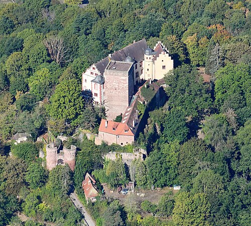
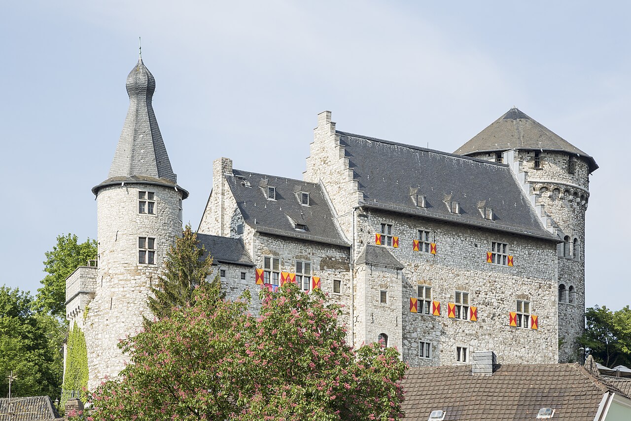
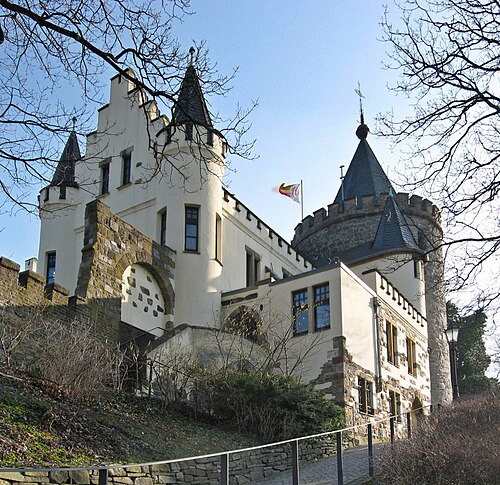
Burg Stolberg rises on a steep limestone rock in the middle of the old town of Stolberg in Stolberg (Rhineland) in the Städteregion Aachen in North Rhine-Westphalia. It is the landmark, the cradle and the namesake of the town.
In the 12th century Burg Stolberg was built by the lords of Stalburg. In the middle of the 15th century the dukes of Jülich pledged the razed complex to the lords of Nesselrode, in order to have it rebuilt as an Offenhaus (open house). In the middle of the 16th century Hieronymus von Efferen had the castle enlarged after destruction. Through marriage the castle and lordship passed from the barons of Efferen to the imperial barons Raitz von Frentz. In the 18th and 19th centuries the castle then fell into ruin. From the last noble owners, the imperial counts of Kesselstatt, the dilapidated complex passed into bourgeois ownership in 1863. The Stolberg manufacturer Moritz Kraus had the castle rebuilt in the historicist style from 1888 and gave it to the town in 1909.
Today Burg Stolberg serves as a venue for cultural events and as accommodation for various associations. In the cellar there is a restaurant business, and in the gate castle a local history and crafts museum.
Machine-translated from “Burg Stolberg” on the German Wikipedia, CC BY-SA 4.0.
In the rankings
Burg Stolberg ranks #6,637 of 9,902 worldwide in the atlas's castle fame ranking, and #695 of the 927 mapped in Germany. Its Wikipedia articles were opened 1,265 times in the last 60 days, more than 62% of the atlas. 21 more atlas landmarks stand within 25 km. The nearest day-trip guide is Aachen, 11 km away. See how Germany compares in the castle statistics.
Castles nearby
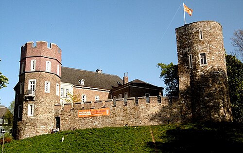
- Frankenberg Castle (Aachen)9 km · Germany
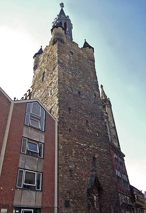
- Palace of Aachen11 km · Germany
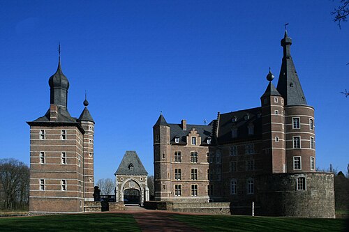
- Schloss Merode11 km · Germany
- Burg Rode15 km · Germany
More castles in Germany
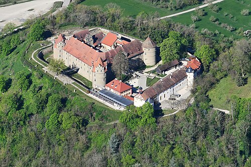
- Burg GamburgGermany
- Schloss FrankenbergGermany
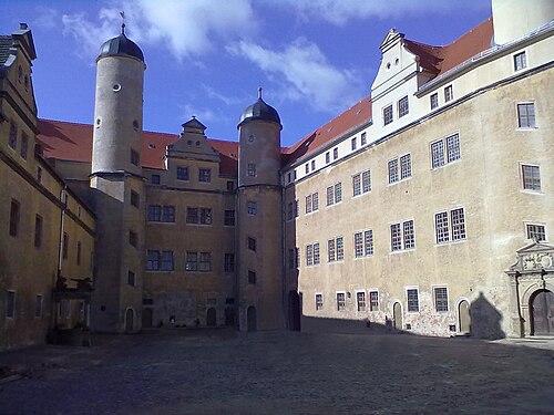
- Schloss LichtenburgGermany
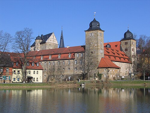
- Schloss ThurnauGermany