 Romania
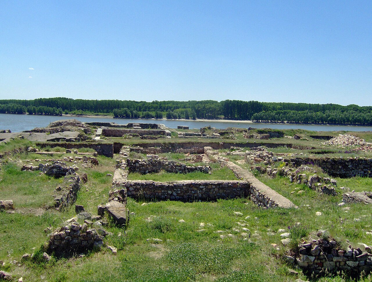
Capidava (Kapidaua, Cappidava, Capidapa, Calidava, Calidaua) was originally an important Geto-Dacian centre on the right bank of the Danube. After the Roman conquest, it became a civil and military centre in the province of Moesia Inferior (later Scythia Minor) and part of the defensive frontier system of the Moesian Limes along the Danube.
It is located in the village with the same name in Constanța County, Romania.
Text adapted from “Capidava” on Wikipedia, CC BY-SA 4.0.
Capidava ranks #3,669 of 9,035 worldwide in the atlas's castle fame ranking, and #37 of the 125 mapped in Romania. Its Wikipedia articles were opened 1,458 times in the last 60 days, more than 61% of the atlas. See how Romania compares in the castle statistics.
View on the interactive castle map →