 Spain · 13th century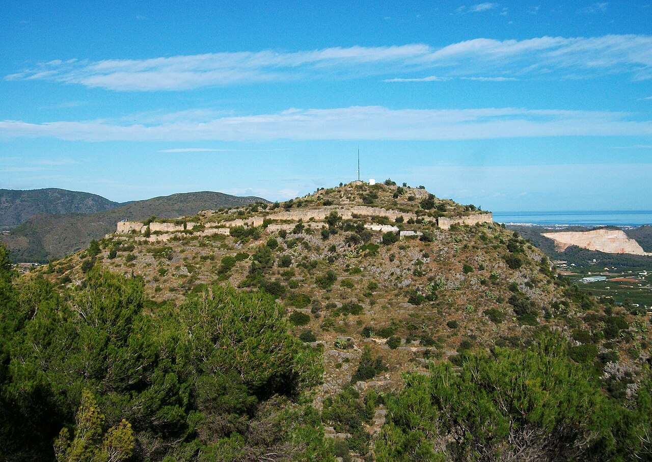
The castle of Ambra is located in the municipality of Pego in the province of Alicante. It is an Arab castle built at the beginning of the 13th century, standing on a rocky ridge of the mountain of Ambra, in the Sierra de Migdia, from which it dominates the marshland of Pego, and whose function was to serve as an inhabited place and refuge for the rural communities.
From this castle the access to the valley of Ebo was controlled.
Machine-translated from “Castillo de Ambra” on the Spanish Wikipedia, CC BY-SA 4.0.
Castell d'Ambra ranks #8,500 of 9,079 worldwide in the atlas's castle fame ranking, and #530 of the 607 mapped in Spain. Founded c. 1225, it is older than 73% of the atlas's dated landmarks — one of 1080 atlas entries founded in the 13th century. 15 more atlas landmarks stand within 25 km. The nearest day-trip guide is Alicante, 62 km away. See how Spain compares in the castle statistics.
View on the interactive castle map →