 Spain · 13th century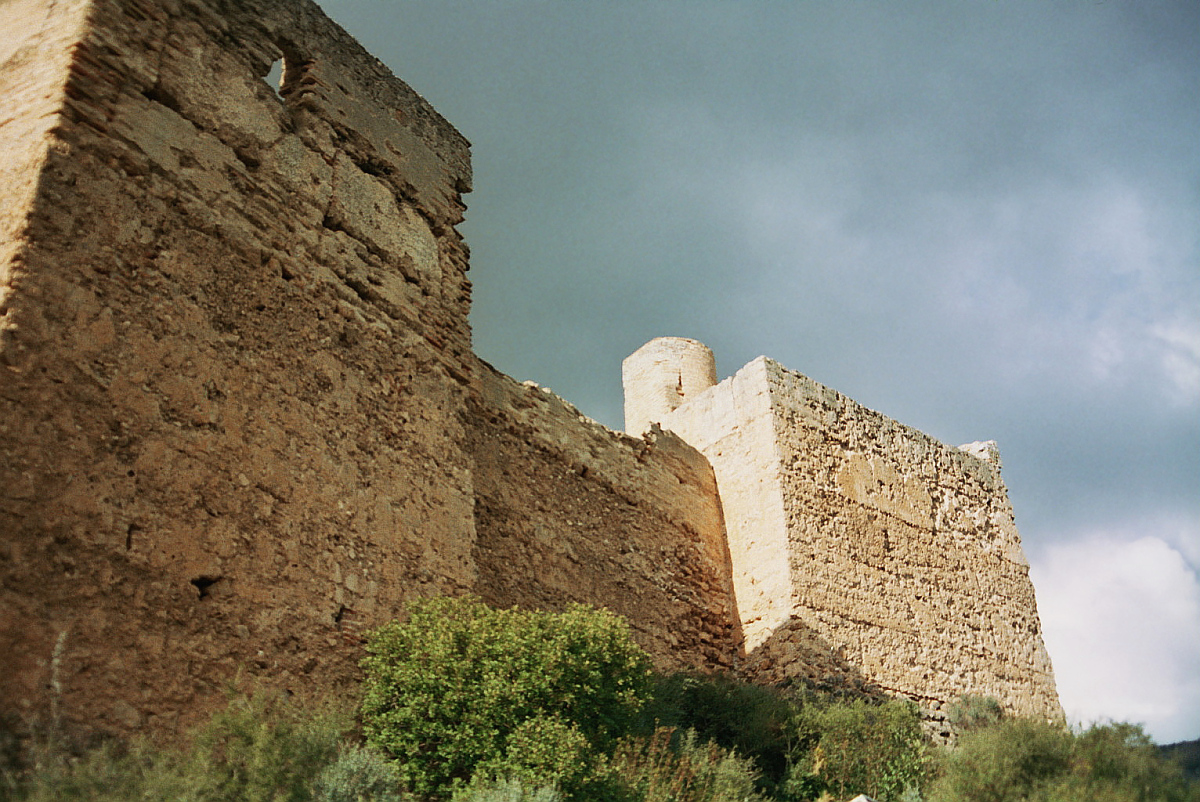
The Castell de Forna (Valencian Castell de Forna; Spanish Castillo de Forna) is a castle in the north of the Spanish province of Alicante. It lies on a hilltop at 232 m altitude, south above the village of the same name, which belongs to the municipality of l'Atzúbia. It is exceptionally well preserved, as only few castles in the region are.
Machine-translated from “Castell de Forna” on the German Wikipedia, CC BY-SA 4.0.
Castell de Forna ranks #5,919 of 9,035 worldwide in the atlas's castle fame ranking, and #259 of the 606 mapped in Spain. Founded c. 1300, it is older than 60% of the atlas's dated landmarks, one of 1090 atlas entries founded in the 13th century. 13 more atlas landmarks stand within 25 km. The nearest day-trip guide is Alicante, 65 km away. See how Spain compares in the castle statistics.
View on the interactive castle map →