 Spain · 11th century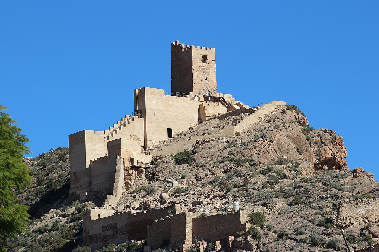
The Castle of Alhama is a former 11th-century fortress in the Murcian municipality of Alhama de Murcia (Spain). It is of Islamic origin and stands on a hill overlooking the Guadalentín valley. Its strategic position gave it the role of defending the frontiers of the Kingdom of Castile. Since 7 August 1997 it has been a Bien de Interés Cultural under reference RI-51-0009976.
Machine-translated from “Castillo de Alhama” on the Spanish Wikipedia, CC BY-SA 4.0.
Castillo de Alhama ranks #8,472 of 9,079 worldwide in the atlas's castle fame ranking, and #521 of the 607 mapped in Spain. Founded c. 1050, it is older than 89% of the atlas's dated landmarks — one of 436 atlas entries founded in the 11th century. 1 more atlas landmarks stand within 25 km. The nearest day-trip guide is Murcia, 30 km away. See how Spain compares in the castle statistics.
View on the interactive castle map →