 Spain · 11th century
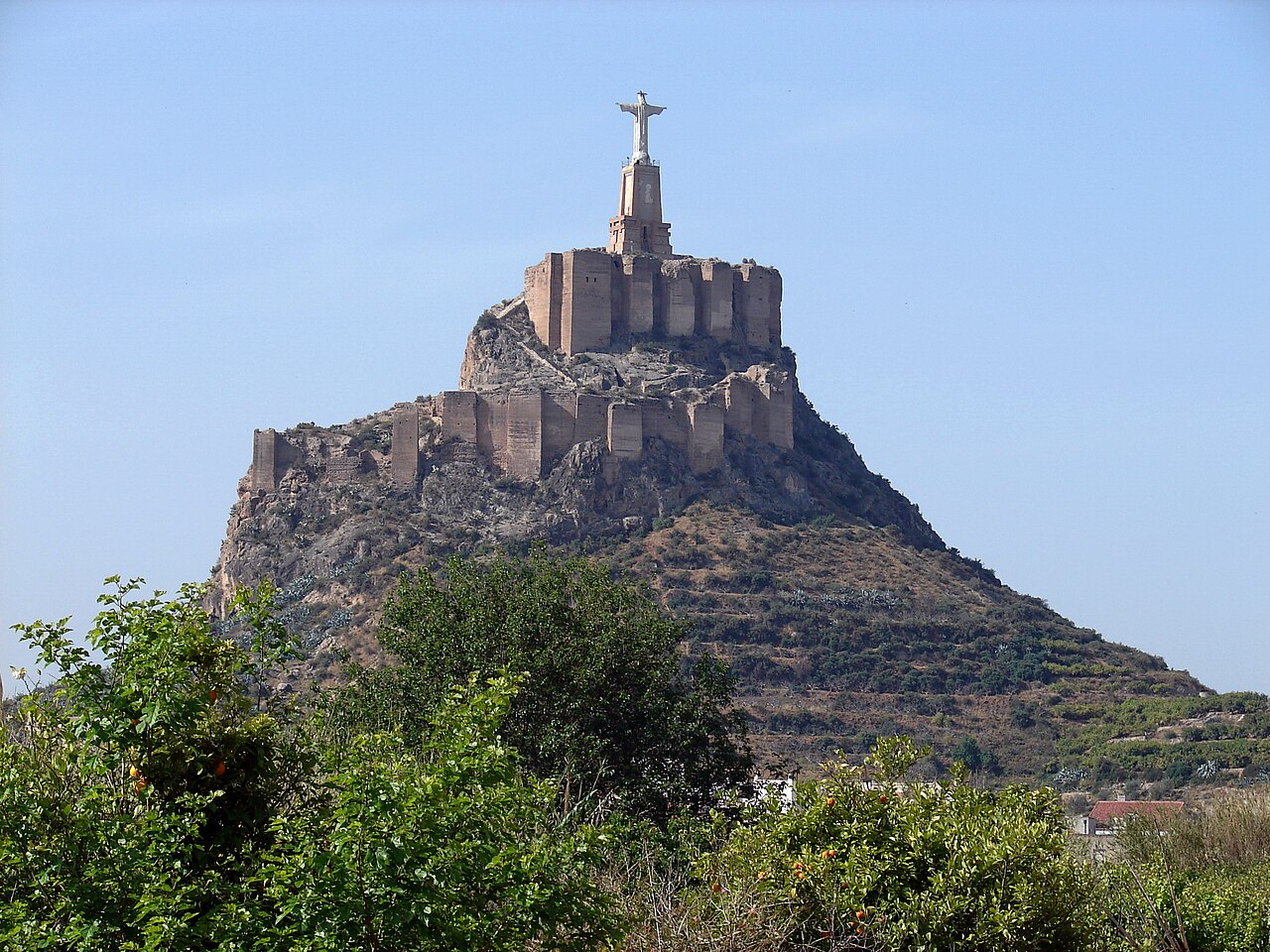
Castle of Monteagudo ranks #5,039 of 9,040 worldwide in the atlas's castle fame ranking, and #218 of the 606 mapped in Spain. Founded 1078, it is older than 87% of the atlas's dated landmarks, one of 439 atlas entries founded in the 11th century. 2 more atlas landmarks stand within 25 km. The nearest day-trip guide is Murcia, 5 km away. See how Spain compares in the castle statistics.
The Castle of Monteagudo is a fortification located about 5 kilometres northeast of the city of Murcia (Region of Murcia, Spain) and about 18 kilometres southwest of Orihuela, in the district of the same name.
The castle is set on an impressive rocky spur rising 149 m above sea level, so that it dominates the whole Huerta of Murcia. Its strategic position and singular layout make this fortress a fundamental landmark of the Murcian pre-coastal depression, on the northern edge of the Segura plain.
The Castle of Monteagudo traces its origins to the Islamic period. The first documentary references to this fortification indicate its existence around 1078–1079. However, it was in the time of Ibn Mardanish that the castle acquired its present layout. Nevertheless, the far-reaching fame it still retains came with the incorporation of the kingdom into the Crown of Castile in 1243. There Alfonso X the Wise established his Murcian residence, and it remained linked to the Castilian monarchs. The annexation to the kingdom of Valencia of the Vinalopó valley and the lower Segura plain at the beginning of the 14th century made the Castle of Monteagudo the age-old sentinel of the frontier.
Machine-translated from “Castillo de Monteagudo” on the Spanish Wikipedia, CC BY-SA 4.0.
View on the interactive castle map →