 Spain · 16th century
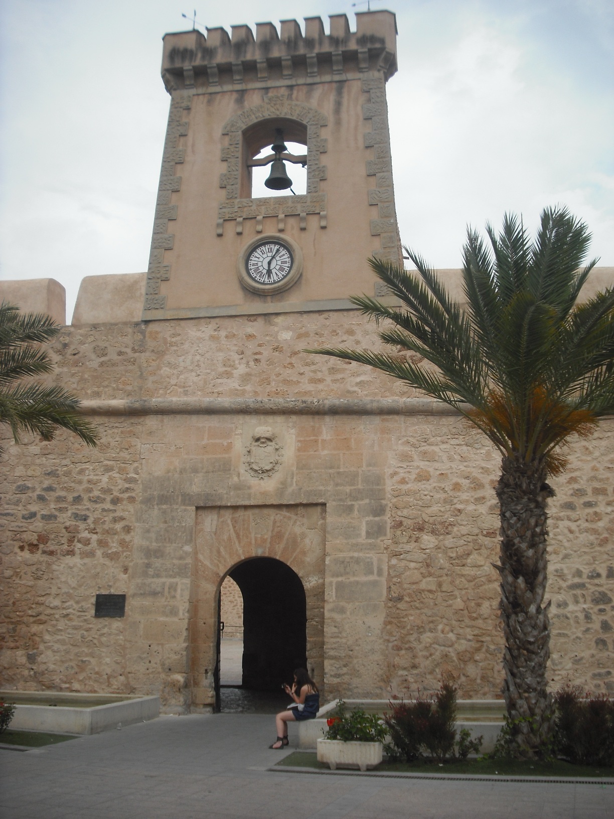
Castillo-Fortaleza de Santa Pola ranks #7,055 of 9,040 worldwide in the atlas's castle fame ranking, and #357 of the 606 mapped in Spain. Founded 1577, it is older than 34% of the atlas's dated landmarks, one of 887 atlas entries founded in the 16th century. 4 more atlas landmarks stand within 25 km. The nearest day-trip guide is Elche, 15 km away. See how Spain compares in the castle statistics.
The Castillo-Fortaleza de Santa Pola (province of Alicante, Spain) is located in the Plaza Glorieta and was built in the 16th century in Renaissance style, with later alterations in the 18th and 19th centuries. Inside are the parade ground and the cistern, with the chapel of the Virgin of Loreto (patroness of Santa Pola), the Museum of the Sea and the Fishing Museum. In the centre of the courtyard, where a well formerly stood, is the coat of arms of Santa Pola.
It is a Bien de Interés Cultural in the category of monument.
Machine-translated from “Castillo-Fortaleza de Santa Pola” on the Spanish Wikipedia, CC BY-SA 4.0.
View on the interactive castle map →