Ruin
Castle Caulfield
 Northern Ireland · 17th century
- Founded
- 1611
- Coordinates
- 54.506°, -6.835°
- Open data
- Wikidata Q5050022
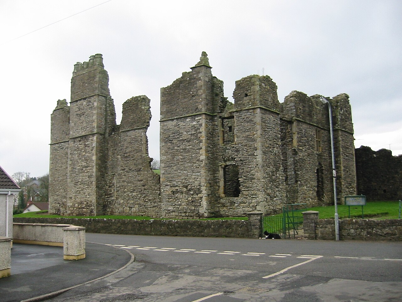
Description
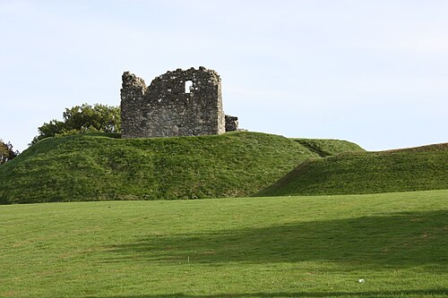
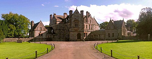
Castle Caulfield is a large ruined house situated in Castlecaulfield, County Tyrone, Northern Ireland.
The house was built for Sir Toby Caulfield between 1611 and 1619. He was granted 1,000 acres at the start of the Plantation of Ulster. This land was previously owned by the O'Donnelly family, who were closely connected to the O'Neill clan in Dungannon. The O'Donnelly fort was a few miles west of the castle. There are substantial remains. The gatehouse was rebuilt at a later date, although one of the doorways may have been reused.
Castle Caulfield, today a ruin, is a State Care Historic Monument in the townland of Lisnamonaghan, in Dungannon and South Tyrone Borough Council area, at grid reference H7550 6260.
Text adapted from “Castle Caulfield” on Wikipedia, CC BY-SA 4.0.
In the rankings
Castle Caulfield ranks #6,437 of 9,040 worldwide in the atlas's castle fame ranking, and #24 of the 39 mapped in Northern Ireland. Founded 1611, it is older than 29% of the atlas's dated landmarks, one of 710 atlas entries founded in the 17th century. 4 more atlas landmarks stand within 25 km. The nearest day-trip guide is Belfast, 59 km away. See how Northern Ireland compares in the castle statistics.
Castles nearby
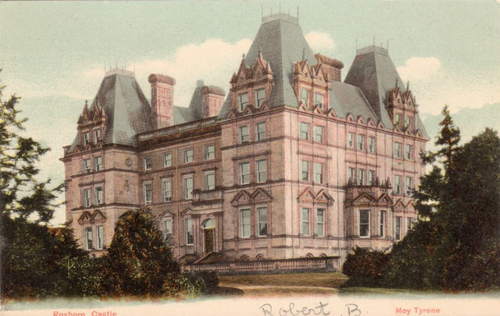
- Roxborough Castle11 km · Northern Ireland
- Charlemont Fort12 km · Northern Ireland
- Benburb Castle12 km · Northern Ireland
- Castle Leslie
 21 km · Ireland
More castles in Northern Ireland
- Clough CastleNorthern Ireland · 12th century
- Bright CastleNorthern Ireland · 15th century
- Tandragee CastleNorthern Ireland · 19th century
- Portora CastleNorthern Ireland · 17th century