 Poland · 16th century
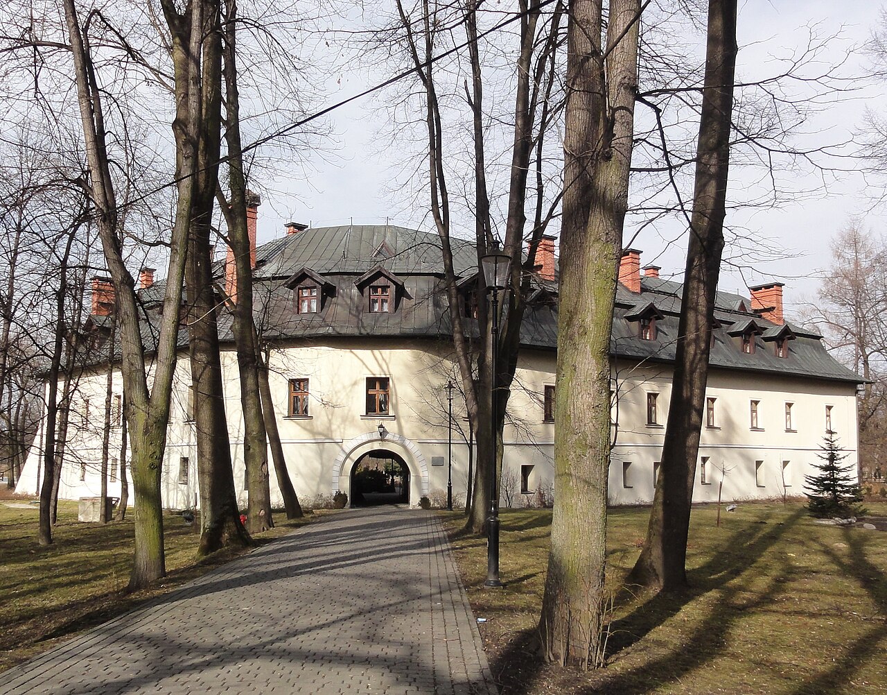
Castle in Kończyce Małe ranks #8,332 of 9,040 worldwide in the atlas's castle fame ranking, and #352 of the 397 mapped in Poland. Founded c. 1600, it is older than 31% of the atlas's dated landmarks, one of 887 atlas entries founded in the 16th century. 4 more atlas landmarks stand within 25 km. The nearest day-trip guide is Ostrava, 25 km away. See how Poland compares in the castle statistics.
Castle in Kończyce Małe (German: Schloss Kleinkuntschütz) – a historic castle in the village of Kończyce Małe, in Silesian Voivodeship, Cieszyn County. Although it is called a castle, it is in reality a fortified manor – the only one of its kind in Cieszyn Silesia.
Machine-translated from “Zamek w Kończycach Małych” on the Polish Wikipedia, CC BY-SA 4.0.
View on the interactive castle map →