 Portugal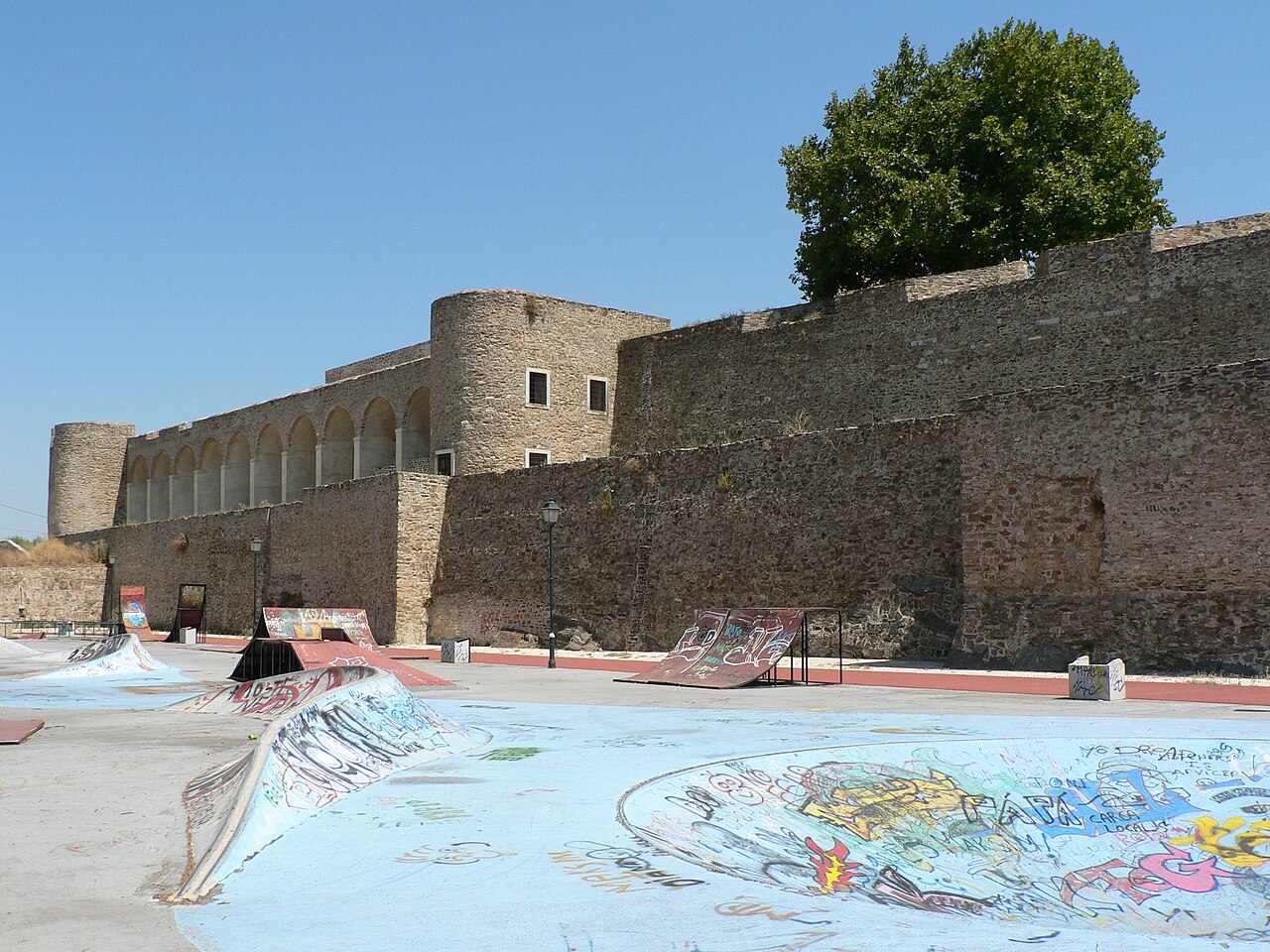
The Castle of Abrantes (Portuguese: Fortaleza de Abrantes) overlooks the city of Abrantes, in the municipality of Abrantes in the district of Santarém, Ribatejo, divided between the two civil parishes of São João and São Vicente. It was part of the Reconquista fortifications that made up the Linha do Tejo (English: Tagus Line), a line of castles and outposts during the Middle Ages, recently integrated into a tourist region called the Região de Turismo dos Templários (English: Tourist Region of the Templars).
Text adapted from “Castle of Abrantes” on Wikipedia, CC BY-SA 4.0.
Castle of Abrantes ranks #5,236 of 9,035 worldwide in the atlas's castle fame ranking, and #78 of the 212 mapped in Portugal. 3 more atlas landmarks stand within 25 km. The nearest day-trip guide is Tomar, 24 km away. See how Portugal compares in the castle statistics.
View on the interactive castle map →