 Italy · 13th century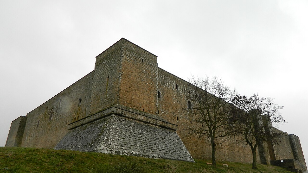
The Castello di Lagopesole is a medieval fortress of the Frederician period on a small mountain at 814 metres above sea level, which forms the watershed between the rivers Ofanto and Bradano. It lies above the frazione of Lagopesole of the Italian municipality of Avigliano in the province of Potenza, region of Basilicata.
The museum castle, which is under the Ministry of Cultural Heritage and Activities, was administered from December 2014 by the Basilicata museum group (Italian Polo museale della Basilicata). Since December 2019 this task has been carried out by the newly created Regional Museum Directorate (Italian Direzione regionale Musei).
Machine-translated from “Castello di Lagopesole” on the German Wikipedia, CC BY-SA 4.0.
Castle of Lagopesole ranks #6,279 of 9,079 worldwide in the atlas's castle fame ranking, and #445 of the 560 mapped in Italy. Founded 1242, it is older than 71% of the atlas's dated landmarks — one of 1080 atlas entries founded in the 13th century. Wikidata records about 6,881 visitors in 2020. 3 more atlas landmarks stand within 25 km. See how Italy compares in the castle statistics.
View on the interactive castle map →