 Greece · 13th century
Castle of Tartaris ranks #9,004 of 9,040 worldwide in the atlas's castle fame ranking, and #129 of the 133 mapped in Greece. Founded 1204, it is older than 75% of the atlas's dated landmarks, one of 1091 atlas entries founded in the 13th century. 3 more atlas landmarks stand within 25 km. The nearest day-trip guide is Patras, 47 km away. It is one of the 34 landmarks on the atlas's regional map of the Peloponnese. See how Greece compares in the castle statistics.
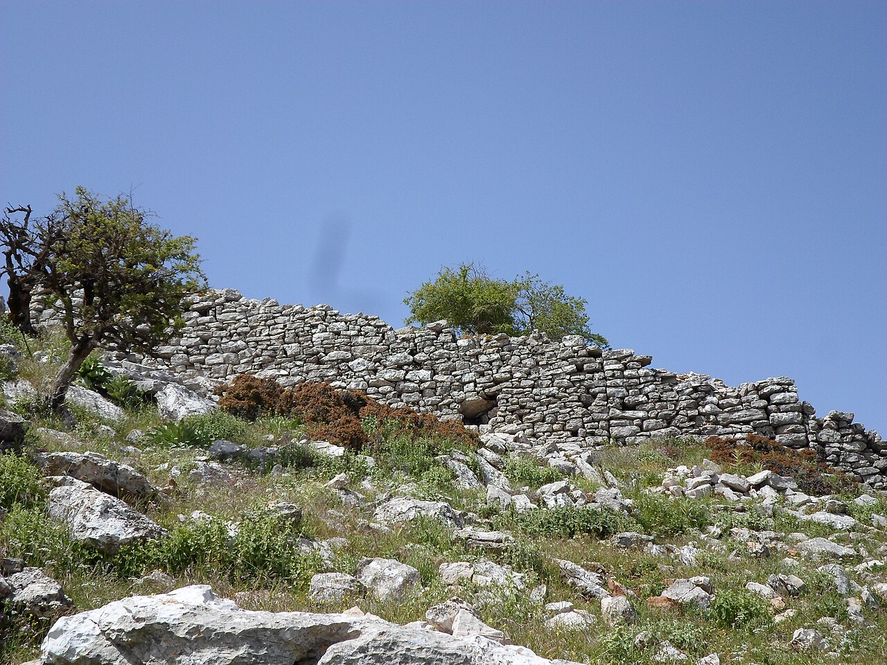
The Castle of Tartaris, or Castle of Sopoto, is a Frankish structure of the 13th century whose ruins survive today near the village of Sopoto (now Aroania) in the former province of Kalavryta in the mountainous part of the prefecture of Achaea. It is described as a small, today ruined castle situated on a spur of the Erymanthos massif called Tartaris, about 32 kilometres south-west of Kalavryta at an altitude of 1440 metres.
It was built between 1204 and 1300 by the Franks of the Principality of Achaea and at that time belonged to the Barony of Kalavryta. It was a castle small in size, used mainly by a military garrison. The castle, like the surrounding area, changed hands from 1300 onwards between the Byzantines and the Franks of the Principality of Achaea until 1460, when the whole of the Peloponnese was conquered by the Ottoman Empire.
The area in which the castle stands was called "Strezova" during Frankish rule and was divided between the baronies of Kalavryta and Akova. For the security and control of their fiefs in Strezova the barons of Kalavryta and Akova had built many such small forts throughout the surrounding and wider area.
Machine-translated from “Κάστρο του Τάρταρη” on the Greek Wikipedia, CC BY-SA 4.0.
View on the interactive castle map →