 Greece · 13th century
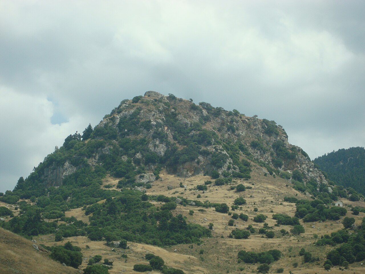
Kalavryta Castle (in Greek: Κάστρο των Καλαβρύτων), also known as the castle of Oria (in Greek: Κάστρο της Ωριάς), stands on a hill east of the town of Kalavryta, about 1.5 kilometres from the centre. It was built during the period of Frankish rule by the first baron of Kalavryta, Otto of Tournay, shortly after the year 1208. Today only ruins of the castle survive.
Machine-translated from “Castillo de Kalávrita” on the Spanish Wikipedia, CC BY-SA 4.0.
Kalavryta Castle ranks #8,633 of 9,035 worldwide in the atlas's castle fame ranking, and #104 of the 133 mapped in Greece. Founded 1208, it is older than 74% of the atlas's dated landmarks, one of 1090 atlas entries founded in the 13th century. 1 more atlas landmarks stand within 25 km. The nearest day-trip guide is Patras, 42 km away. It is one of the 34 landmarks on the atlas's regional map of the Peloponnese. See how Greece compares in the castle statistics.
View on the interactive castle map →