 Spain
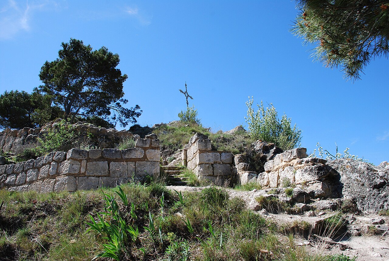
Castle of Zalatambor ranks #8,379 of 9,040 worldwide in the atlas's castle fame ranking, and #507 of the 606 mapped in Spain. 2 more atlas landmarks stand within 25 km. The nearest day-trip guide is Vitoria-Gasteiz, 56 km away. See how Spain compares in the castle statistics.
The Castle of Estella is a group of fortifications that formed part of the extensive fortification, the greater castle, which the city of Estella (Navarre, Spain) possessed. It consisted of those known as the castle of Zalatambor, the castle of Belmecher, or Belmechet, and La Atalaya. It also had two fortress-churches: San Miguel and San Pedro de la Rúa. To these was added a "walled circuit or enclosure, marked out by battlemented towers, in which the city gates opened, the city then still being a town, though already the head of its merindad".
During the medieval period it was probably the best fortified stronghold in the kingdom of Navarre. Unlike the fate suffered by the rest of the fortresses, after the conquest of Navarre it was repeatedly exempted from demolition until 1572, when the viceroy Vespasiano Gonzaga ordered it demolished following instructions from King Philip II.
It was in this castle that the infante Theobald, or Teobaldico, son of Henry I and Blanche of Artois, died in an accident that cast him into the void (1272).
Machine-translated from “Castillo de Estella” on the Spanish Wikipedia, CC BY-SA 4.0.
View on the interactive castle map →