Ruin
San Esteban de Deyo
 Spain · 10th century
- Founded
- c. 950
- Heritage status
- bien de interés cultural
- Location
- Villamayor de Monjardín
- Coordinates
- 42.63389°, -2.10639°
- Open data
- Wikidata Q3571711
- Links
- OpenStreetMap · Wikimedia Commons

Description
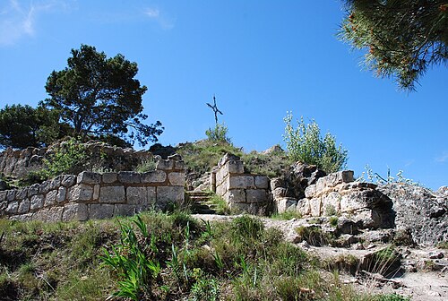
San Esteban de Deyo, also called the Castillo de Monjardín, is a ruined castle on a hill overlooking Villamayor de Monjardín in Navarre. The castle lies at an elevation of 890 metres. The castle has a Roman foundation, but was repeatedly rebuilt over the centuries. It was one of the last fortresses of the Banu Qasi, the local Muslim dynasty, before it was taken by King Sancho I of Navarre in 914. According to the Historia Caroli Magni et Rotholandi—a legendary retelling of the lives of Charlemagne and Roland found in the 12th-century Codex Calixtinus—the castle was actually taken by Charlemagne from a Navarrese prince named Furré. Only the walls of the castle stand today. Many of the stones were taken to build a Baroque hermitage, the Ermita de San Esteban, in the 17th century.
The ruins of San Esteban de Deyo were named a Bien de Interés Cultural de Navarra on 25 June 1985.
Text adapted from “San Esteban de Deyo” on Wikipedia, CC BY-SA 4.0.
In the rankings
San Esteban de Deyo ranks #4,944 of 9,902 worldwide in the atlas's castle fame ranking, and #211 of the 646 mapped in Spain. Founded c. 950, it is older than 93% of the atlas's dated landmarks, one of 206 atlas entries founded in the 10th century. 2 more atlas landmarks stand within 25 km. The nearest day-trip guide is Vitoria-Gasteiz, 52 km away. See how Spain compares in the castle statistics.
Castles nearby
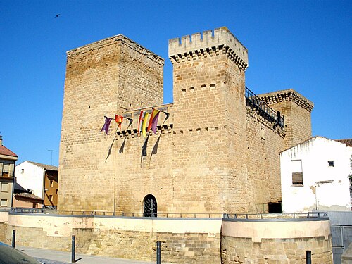
- Castle of Zalatambor7 km · Spain
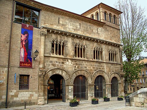
- Palacio de los Reyes de Navarra, Estella7 km · Spain
- Castle of Aguas Mansas26 km · Spain
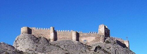
- Castle of Clavijo41 km · Spain
More castles in Spain
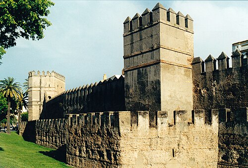
- Murallas de SevillaSpain
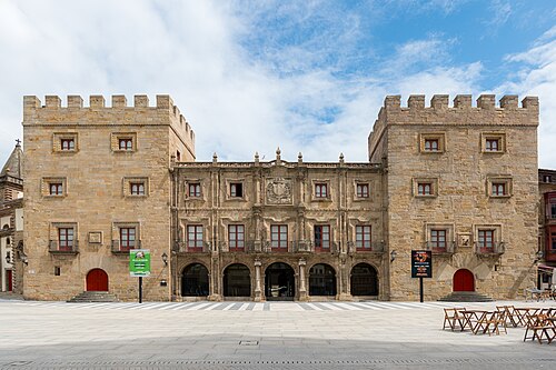
- Revillagigedo PalaceSpain · 18th century
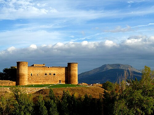
- Castle of El Barco de ÁvilaSpain · 15th century
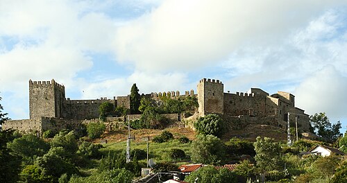
- Castle of Castellar de la FronteraSpain · 13th century