Castle Map

Fortress

Castrum bizantino di Ferrara

Italy

Castrum bizantino di Ferrara in Italy
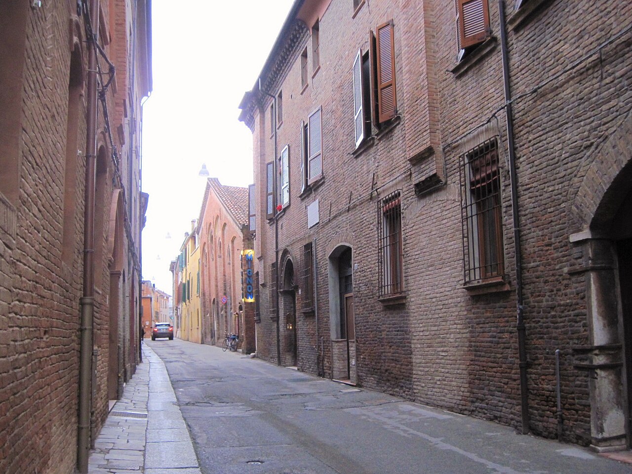
The site today · Photo: Lungoleno · CC BY-SA 4.0 · Wikimedia Commons

The Castello dei Curtensi, also Castello dei Cortesi, was the old Byzantine castrum of Ferrara in the Italian region of Emilia-Romagna. It was the first, medieval nucleus of the city.

Machine-translated from “Castello dei Curtensi” on the German Wikipedia, CC BY-SA 4.0.

Castrum bizantino di Ferrara ranks #7,810 of 9,079 worldwide in the atlas's castle fame ranking, and #542 of the 560 mapped in Italy. 5 more atlas landmarks stand within 25 km. The nearest day-trip guide is Ferrara, 1 km away. See how Italy compares in the castle statistics.

View on the interactive castle map →

Read the full history on Wikipedia (in German) ↗

Frequently asked questions

Where is Castrum bizantino di Ferrara?

Castrum bizantino di Ferrara stands in Italy, at 44.83062°, 11.62416°.

How famous is Castrum bizantino di Ferrara?

In this atlas's fame ranking: #7,810 of 9,079 worldwide, and #542 in Italy. Fame here combines how many Wikipedia language editions cover a landmark with how many people read them.

What is the nearest castle to Castrum bizantino di Ferrara?

Palazzo Schifanoia, about 1 km away.

More castles in Italy

More fortresses