Castle
Château d'Ambérieux-en-Dombes
 France · 12th century
- Founded
- c. 1150
- Heritage status
- monument historique inscrit · classified historical monument
- Location
- Ambérieux-en-Dombes
- Coordinates
- 45.9971°, 4.90303°
- Open data
- Wikidata Q2968062
- Links
- Wikimedia Commons
Description
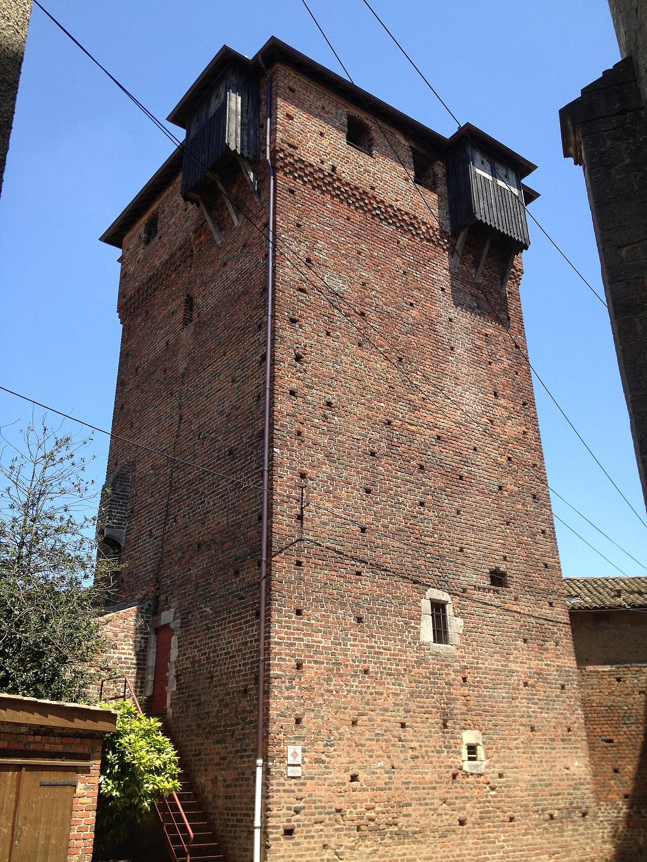
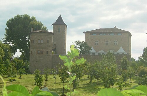
The Château d'Ambérieux-en-Dombes is a former fortified castle, founded in the 12th century by the lords of Villars and rebuilt in the 14th century, which stands in the territory of the French commune of Ambérieux-en-Dombes, in the department of Ain, in the Auvergne-Rhône-Alpes region.
The castle was the centre of the lordship of Ambérieux and the chief seat of a castellany of the principality of Dombes.
The former castle is partially protected as a historic monument.
Machine-translated from “Château d'Ambérieux-en-Dombes” on the French Wikipedia, CC BY-SA 4.0.
In the rankings
Château d'Ambérieux-en-Dombes ranks #7,793 of 9,902 worldwide in the atlas's castle fame ranking, and #765 of the 954 mapped in France. Founded c. 1150, it is older than 80% of the atlas's dated landmarks, one of 810 atlas entries founded in the 12th century. 23 more atlas landmarks stand within 25 km. The nearest day-trip guide is Lyon, 26 km away. See how France compares in the castle statistics.
Castles nearby
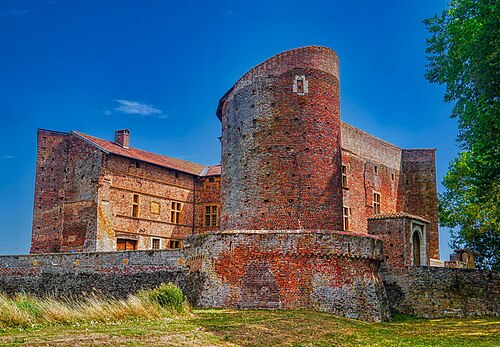
- Château de Bouligneux7 km · France
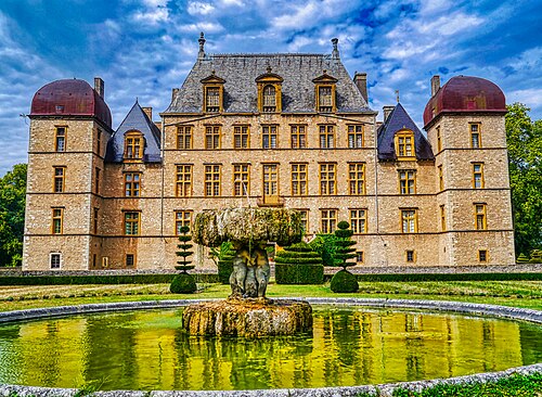
- Château de Fléchères12 km · France
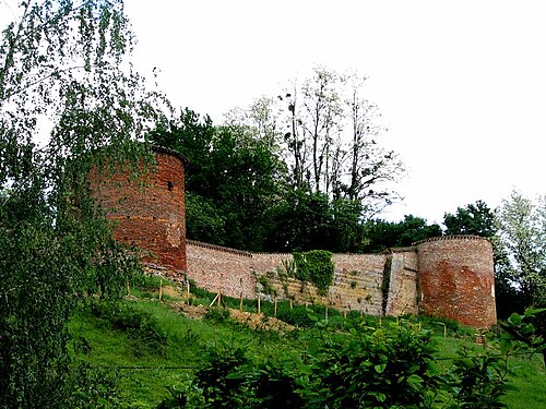
- Château de Châtillon-sur-Chalaronne14 km · France
- Château de Saint-Bernard14 km · France
More castles in France
- Citadel of CalviFrance
- Château de BavilleFrance
- Château du ChampFrance
- Château du PipleFrance · 19th century